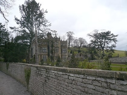
Bakewell Bridge, Bakewell
Map
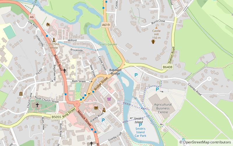
Map

Facts and practical information
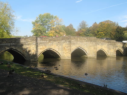
Bakewell Bridge is a Grade I listed stone arch bridge spanning the River Wye in Bakewell, Derbyshire. The bridge is also a scheduled monument. ()
Coordinates: 53°12'52"N, 1°40'22"W
Address
Bakewell
Contact
+44 1629 810152
Social media
Add
Day trips
Bakewell Bridge – popular in the area (distance from the attraction)
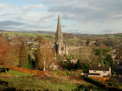
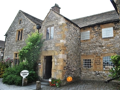
Nearby attractions include: All Saints' Church, Old House Museum, Bakewell Castle, Holme Hall.
Frequently Asked Questions (FAQ)
Which popular attractions are close to Bakewell Bridge?
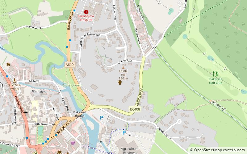
Nearby attractions include Bakewell Castle, Bakewell (5 min walk), All Saints' Church, Bakewell (7 min walk), Old House Museum, Bakewell (8 min walk), Holme Hall, Bakewell (9 min walk).
How to get to Bakewell Bridge by public transport?
The nearest stations to Bakewell Bridge:
Bus
Bus
- Square • Lines: 170, 173, 218, 257, X70, X71 (4 min walk)
