Co-operative Building, Barrow-in-Furness
Map

Map

Facts and practical information
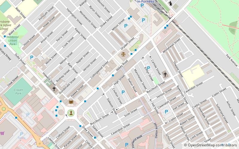
The Co-operative Building on Abbey Road in Barrow-in-Furness, Cumbria, England is a former department store. Constructed by the Barrow Co-operative Society in 1889 and expanded in 1902 it served as the town's largest such shop up until closure in 1996. Pub operator Wetherspoon opened a venue in the ground floor of the former Co-op Building in 1998 named after the Furness Railway and in 2015 converted the vacant upper floors of the building into a 52-bedroom hotel. ()
Coordinates: 54°6'57"N, 3°13'40"W
Address
Barrow-in-Furness
ContactAdd
Social media
Add
Day trips
Co-operative Building – popular in the area (distance from the attraction)
Nearby attractions include: Portland Walk Shopping Centre, Barrow-in-Furness Town Hall, Hindpool Retail Parks, St Mary of Furness Roman Catholic Church.
Frequently Asked Questions (FAQ)
Which popular attractions are close to Co-operative Building?
Nearby attractions include Nan Tait Centre, Barrow-in-Furness (2 min walk), Hindpool, Barrow-in-Furness (4 min walk), Barrow Library, Barrow-in-Furness (5 min walk), Ramsden Square, Barrow-in-Furness (5 min walk).
How to get to Co-operative Building by public transport?
The nearest stations to Co-operative Building:
Train
Train
- Barrow-in-Furness (7 min walk)


