Westbourne Bridge, London
Map
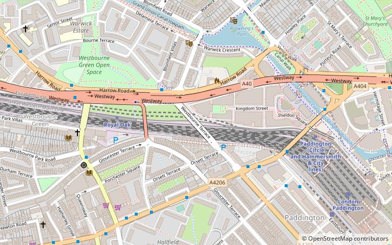
Map

Facts and practical information
Westbourne Bridge is a grade II listed road bridge in the City of Westminster, London. It was built some time after 1909 for the Great Western Railway. ()
Coordinates: 51°31'8"N, 0°11'2"W
Address
City of Westminster (Hyde Park)London
ContactAdd
Social media
Add
Day trips
Westbourne Bridge – popular in the area (distance from the attraction)
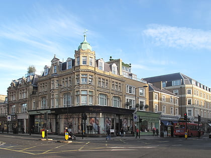
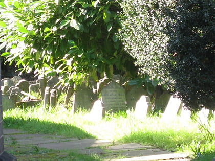
Nearby attractions include: Westbourne Grove, Whiteleys, Hyde Park pet cemetery, Canal Cafe Theatre.
Frequently Asked Questions (FAQ)
Which popular attractions are close to Westbourne Bridge?
Nearby attractions include Bishop's Bridge, London (4 min walk), Canal Cafe Theatre, London (4 min walk), Porchester Square, London (5 min walk), Great Western Railway War Memorial, London (8 min walk).
How to get to Westbourne Bridge by public transport?
The nearest stations to Westbourne Bridge:
Bus
Metro
Train
Bus
- Westbourne Terrace • Lines: 18, 23, 27, 36, 7, N18, N27, N7 (4 min walk)
- Bishops Bridge Road / Westbourne Terrace • Lines: 23, 27, 36, 7, N27, N7 (4 min walk)
Metro
- Royal Oak • Lines: Circle, Hammersmith & City (4 min walk)
- Paddington • Lines: Bakerloo, Circle, District (9 min walk)
Train
- London Paddington (8 min walk)
- London Marylebone (25 min walk)

 Tube
Tube