Fleur de Lys, St Albans
Map

Map

Facts and practical information
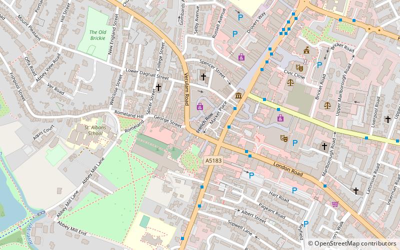
The Fleur de Lys was a public house in French Row, St Albans, Hertfordshire, England. The building has an C18th brick facade, but it dates from the Middle Ages and is listed grade II with Historic England. The building was refurbished and renamed The Snug in 2007, to become part of the Snug bar chain. ()
Coordinates: 51°45'5"N, 0°20'26"W
Address
St Albans
ContactAdd
Social media
Add
Day trips
Fleur de Lys – popular in the area (distance from the attraction)
Nearby attractions include: The Boot, St Albans Cathedral, Batchwood Hall, St Albans Museums.
Frequently Asked Questions (FAQ)
Which popular attractions are close to Fleur de Lys?
Nearby attractions include Clock Tower, St Albans (1 min walk), Gallery Rouge, St Albans (2 min walk), St Albans Museums, St Albans (3 min walk), St Albans Cathedral, St Albans (3 min walk).
How to get to Fleur de Lys by public transport?
The nearest stations to Fleur de Lys:
Bus
Train
Bus
- Town Hall • Lines: 724 (2 min walk)
- Abbey • Lines: 724 (3 min walk)
Train
- St Albans Abbey (13 min walk)
- St Albans City (15 min walk)


