Mawgan Porth Dark Age Village, Newquay
Map
Facts and practical information
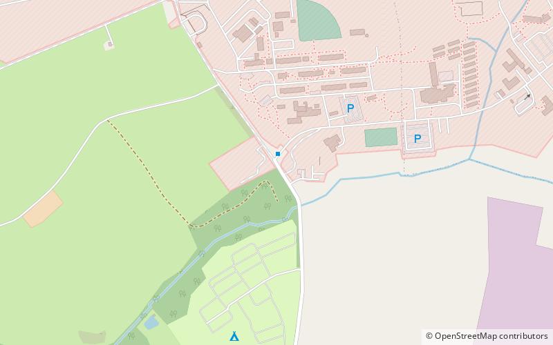
Mawgan Porth Dark Age Village is a small ancient settlement consisting of 3 courtyard house complexes and a cemetery on the North coast of Cornwall dating from the 10th century. It was excavated in 1950-54 by Rupert Bruce-Mitford. The site was first discovered after the apparent after the discovery of the skeleton in 1934. The landowner. Mr P A Wailes, had wanted to build on the land and soundings to test the subsoil revealed the skeleton, stone walls, pottery and bone fragments. ()
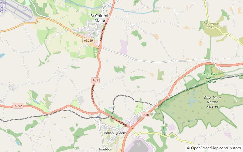
Coordinates: 50°26'5"N, 5°0'47"W
Address
Newquay
ContactAdd
Social media
Add
Getting there by public transportation
Public transportation stops near this location
- Bus
 Bus
Bus
- Calculate routeNewquay Airport 25 min walk
- Calculate routePale Corner 26 min walk
- Calculate routePost Box 29 min walk
- Calculate routeSt Mawgan Junction 30 min walk
Day trips


Frequently Asked Questions (FAQ)
How to get to Mawgan Porth Dark Age Village by public transport?
The nearest stations to Mawgan Porth Dark Age Village:
Bus
Bus
- Newquay Airport • Lines: 5A (25 min walk)
- Pale Corner • Lines: 5A (26 min walk)