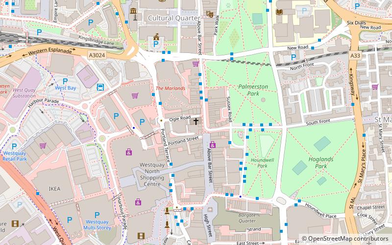
Southampton City Centre, Southampton
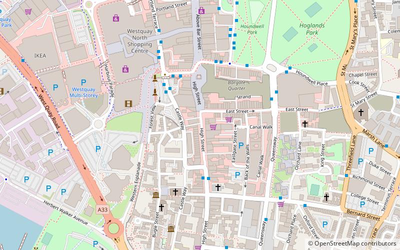
Map
Facts and practical information
Southampton City Centre is the commercial and organisational centre of the City of Southampton, and the transport hub of the city. Because Southampton is on the South Coast of England, the city centre is not at the geometric centre of the city, but at the southern extremity. ()
Coordinates: 50°54'5"N, 1°24'15"W
Address
Southampton Itchen (Bargate)Southampton
ContactAdd
Social media
Add
Getting there by public transportation
Public transportation stops near this location
- Bus
- Train
- Ferry
 Bus
Bus
- Calculate routeHolyrood Church 3 min walk
- Calculate routeBargate Street 3 min walk
- Calculate routeWestquay 4 min walk
- Calculate routePound Tree Road 7 min walk
- Calculate routeRed Jet 13 min walk
- Calculate routeSouthampton Central 16 min walk
Day trips


Frequently Asked Questions (FAQ)
Which popular attractions are close to Southampton City Centre?
Nearby attractions include Bargate, Southampton (1 min walk), Old Walls, Southampton (2 min walk), Southampton Castle, Southampton (3 min walk), Holyrood Church, Southampton (4 min walk).
How to get to Southampton City Centre by public transport?
The nearest stations to Southampton City Centre:
Bus
Ferry
Train
Bus
- Holyrood Church • Lines: Qc (3 min walk)
- Bargate Street • Lines: 1 (3 min walk)
Ferry
- Red Jet (13 min walk)
Train
- Southampton Central (16 min walk)