Sandyford House, Newcastle upon Tyne

Gallery (1)
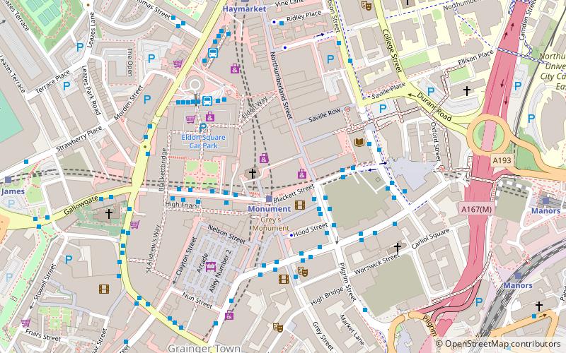
Map

Map
Facts and practical information
Sandyford House is a large office development on Sandyford Road in Sandyford, Newcastle upon Tyne. It was the offices and meeting place of Tyne and Wear County Council from its formation in 1974 until it was abolished in 1986. ()
Coordinates: 54°58'53"N, 1°36'21"W
Address
South JesmondNewcastle upon Tyne
ContactAdd
Social media
Add
Getting there by public transportation
Public transportation stops near this location
- Bus
- Light rail
- Train
 Bus
Bus
- Calculate routeSandyford Road 2 min walk
- Calculate routeOsborne Road-Jesmond Road-S/B 4 min walk
- Calculate routeJesmond 3 min walk
- Calculate routeHaymarket 10 min walk
- Calculate routeManors 14 min walk
- Calculate routeMonument 17 min walk
- Calculate routeManors 16 min walk
- Calculate routeNewcastle 26 min walk
Day trips


Frequently Asked Questions (FAQ)
Which popular attractions are close to Sandyford House?
Nearby attractions include Jesmond Parish Church, Newcastle upon Tyne (2 min walk), Jesmond, Newcastle upon Tyne (4 min walk), Newcastle University Library, Newcastle upon Tyne (6 min walk), Northumbria University, Newcastle upon Tyne (7 min walk).
How to get to Sandyford House by public transport?
The nearest stations to Sandyford House:
Bus
Light rail
Train
Bus
- Sandyford Road • Lines: 1, 306, 308, 309, 310, 311, 33, 51 (2 min walk)
- Osborne Road-Jesmond Road-S/B • Lines: 33 (4 min walk)
Light rail
- Jesmond • Lines: Green, Yellow (3 min walk)
- Haymarket • Lines: Green, Yellow (10 min walk)
Train
- Manors (16 min walk)
- Newcastle (26 min walk)