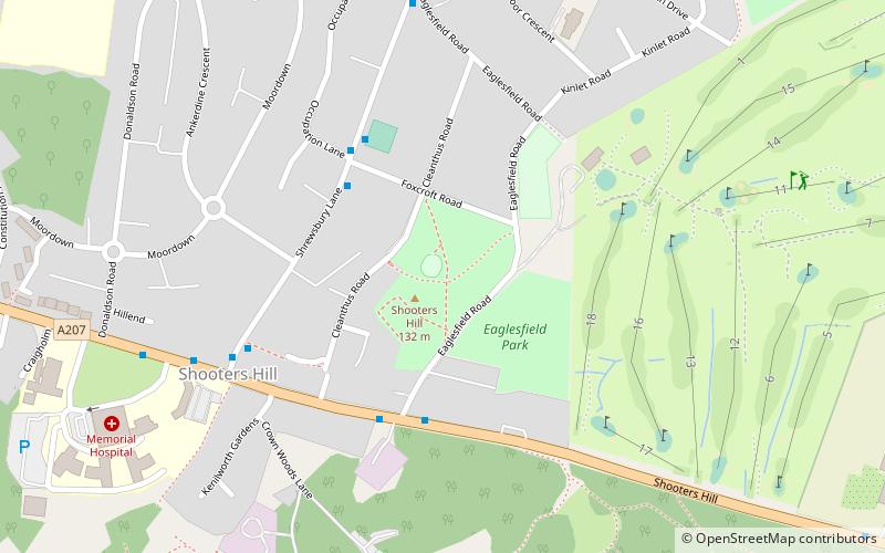
Eaglesfield Park, London
Map
Facts and practical information
Eaglesfield Park is a public park situated close to the top of Shooter's Hill, south of Woolwich, in the Royal Borough of Greenwich in south east London. ()
Elevation: 423 ft a.s.l.Coordinates: 51°28'13"N, 0°4'14"E
Address
Greenwich (Shooters Hill)London
ContactAdd
Social media
Add
Getting there by public transportation
Public transportation stops near this location
- Bus
- Train
 Bus
Bus
- Calculate routeShrewsbury Lane / Foxcroft Road 4 min walk
- Calculate routeEaglesfield Road 4 min walk
- Calculate routeShooters Hill / The Bull 5 min walk
- Calculate routeFalconwood 22 min walk
- Calculate routeEltham 33 min walk
Maps Tube
Tube
TubeDay trips


Frequently Asked Questions (FAQ)
Which popular attractions are close to Eaglesfield Park?
Nearby attractions include Shooter's Hill, London (6 min walk), Oxleas Wood, London (8 min walk), Shrewsbury Park, London (12 min walk), Severndroog Castle, London (14 min walk).
How to get to Eaglesfield Park by public transport?
The nearest stations to Eaglesfield Park:
Bus
Train
Bus
- Shrewsbury Lane / Foxcroft Road • Lines: 244 (4 min walk)
- Eaglesfield Road • Lines: 486, 89, N89 (4 min walk)
Train
- Falconwood (22 min walk)
- Eltham (33 min walk)