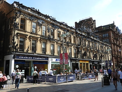
The Horse Shoe Bar, Glasgow
Map
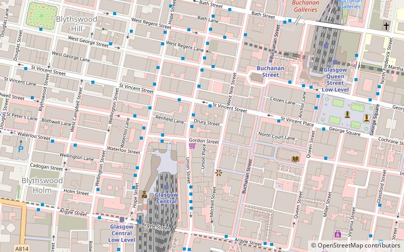
Map

Facts and practical information
The Horse Shoe Bar is a public house on Drury Street, Glasgow, Scotland. ()
Coordinates: 55°51'39"N, 4°15'23"W
Address
17-19 Drury StreetCity Centre (Merchant City)Glasgow
Contact
+44 141 248 6368
Social media
Add
Day trips
The Horse Shoe Bar – popular in the area (distance from the attraction)
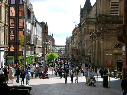
Nearby attractions include: Buchanan Street, Sauchiehall Street, Gallery of Modern Art, Sub Club.
Frequently Asked Questions (FAQ)
Which popular attractions are close to The Horse Shoe Bar?
Nearby attractions include The Egyptian Halls, Glasgow (2 min walk), The Lighthouse, Glasgow (3 min walk), Greater Glasgow, Glasgow (3 min walk), Glasgow Stock Exchange, Glasgow (3 min walk).
How to get to The Horse Shoe Bar by public transport?
The nearest stations to The Horse Shoe Bar:
Bus
Train
Metro
Bus
- Renfield Street / Drury Street • Lines: 2 (1 min walk)
- St. Vincent Street / No 105 • Lines: 500 (2 min walk)
Train
- Glasgow Central (3 min walk)
- Glasgow Central Low Level (6 min walk)
Metro
- Buchanan Street • Lines: Subway (4 min walk)
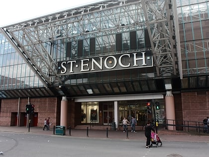
- St Enoch • Lines: Subway (6 min walk)

