Cotes Mill, Loughborough
Map

Map

Facts and practical information
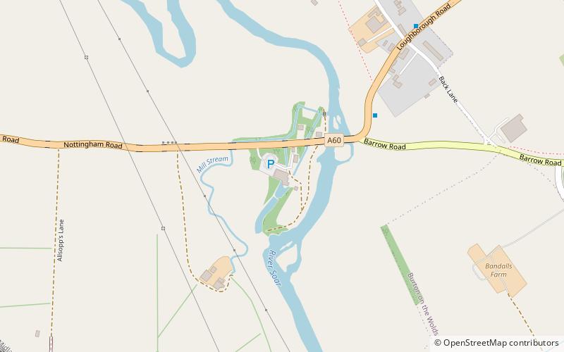
Cotes Mill is a Grade II listed 16th-century water mill on the banks of the River Soar in Cotes, Leicestershire. The first recorded mention of the mill was in the Domesday Survey in 1086. ()
Coordinates: 52°46'46"N, 1°10'55"W
Address
Loughborough
ContactAdd
Social media
Add
Day trips
Cotes Mill – popular in the area (distance from the attraction)
Nearby attractions include: John Taylor & Co, Charnwood Museum, Loughborough Town Hall, Loughborough Carillon.
Frequently Asked Questions (FAQ)
How to get to Cotes Mill by public transport?
The nearest stations to Cotes Mill:
Train
Bus
Train
- Loughborough (16 min walk)
- Loughborough Central (24 min walk)
Bus
- Church • Lines: 1 (29 min walk)


