Brighton and Hove city centre, Brighton
Map
Gallery

Facts and practical information
Brighton and Hove City Centre is the commercial and cultural centre of the city of Brighton. Geographically, the so-called city centre is located in an easterly part of the Brighton and Hove urban conurbation. ()
Coordinates: 50°49'19"N, 0°8'13"W
Address
Regency (Central Brighton)Brighton
ContactAdd
Social media
Add
Day trips
Brighton and Hove city centre – popular in the area (distance from the attraction)
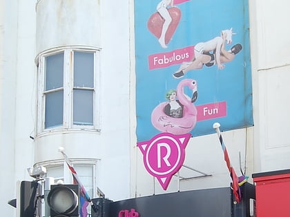
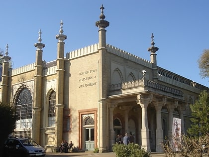
Nearby attractions include: Royal Pavilion, Revenge, Brighton Museum & Art Gallery, Brighton Fishing Museum.
Frequently Asked Questions (FAQ)
Which popular attractions are close to Brighton and Hove city centre?
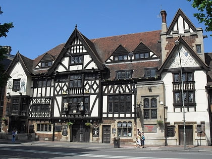
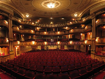
Nearby attractions include Royal Pavilion, Brighton (2 min walk), Marlborough Pub and Theatre, Brighton (2 min walk), Old Steine Gardens, Brighton (2 min walk), Steine House, Brighton (3 min walk).
How to get to Brighton and Hove city centre by public transport?
The nearest stations to Brighton and Hove city centre:
Bus
Train
Bus
- Old Steine • Lines: 21, 21A, 22, 24, 25, 26, 270, 271, 272, 273, 28, 29, 29X, 46, 48, 49, 5, 50, 55, 59, 5A, 5B, N25, N5 (1 min walk)
- North Street • Lines: 1, 12, 12A, 12X, 13X, 14, 14A, 14B, 14C, 18, 1A, 2, 21, 21A, 22, 27, 27C, 5, 55, 59, 5A, 5B, 60, 7, 71, 77, N5, N7 (3 min walk)
Train
- Aquarium (8 min walk)
- Brighton (13 min walk)


