Newington Green, London
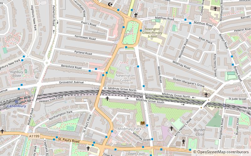
Map
Facts and practical information
Newington Green is an open space in north London that straddles the border between Islington and Hackney. It gives its name to the surrounding area, roughly bounded by Ball's Pond Road to the south, Petherton Road to the west, Green Lanes and Matthias Road to the north, and Boleyn Road to the east. The Green is in N16 and the area is covered by the N16, N1 and N5 postcodes. ()
Elevation: 89 ft a.s.l.Coordinates: 51°32'58"N, 0°5'8"W
Address
Islington (Mildmay)London
ContactAdd
Social media
Add
Getting there by public transportation
Public transportation stops near this location
- Metro
- Bus
- Train
 Metro
Metro
- Calculate routeBeresford Road 3 min walk
- Calculate routeNewington Green 4 min walk
- Calculate routeAlbion Road 6 min walk
- Calculate routeGreen Lanes 6 min walk
- Calculate routeCanonbury 9 min walk
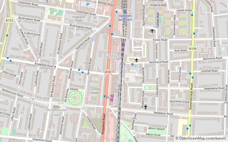
- Calculate routeDalston Kingsland 11 min walk
- Calculate routeDalston Junction 14 min walk
- Calculate routeEssex Road 20 min walk
- Calculate routeHighbury & Islington 21 min walk
- Calculate routeArsenal 29 min walk
- Calculate routeFinsbury Park 36 min walk
Maps Tube
Tube
TubeDay trips


Frequently Asked Questions (FAQ)
Which popular attractions are close to Newington Green?
Nearby attractions include Newington Green Unitarian Church, London (5 min walk), Balls Pond Road Cemetery, London (8 min walk), Shacklewell Lane Mosque, London (13 min walk), Highbury, London (14 min walk).
How to get to Newington Green by public transport?
The nearest stations to Newington Green:
Bus
Train
Metro
Bus
- Beresford Road • Lines: 236 (3 min walk)
- Newington Green • Lines: 236 (4 min walk)
Train
- Canonbury (9 min walk)
- Dalston Kingsland (11 min walk)
Metro
- Highbury & Islington • Lines: Victoria (21 min walk)
- Arsenal • Lines: Piccadilly (29 min walk)