Barossa nature reserve, Camberley
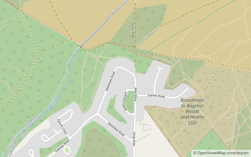
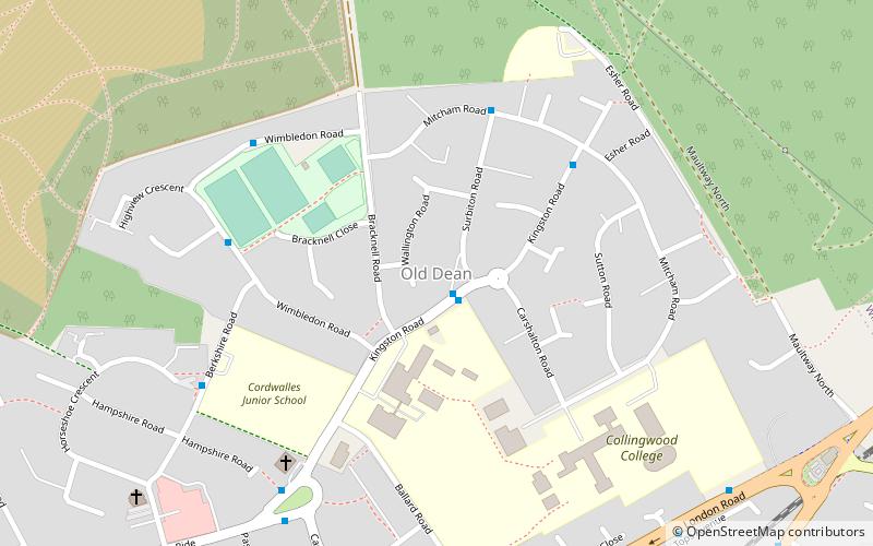
Map

Map

Facts and practical information
Barossa is a 498-hectare nature reserve north of Camberley in Surrey. It is owned by the Ministry of Defence and managed by the Surrey Wildlife Trust. It is part of the Thames Basin Heaths Special Protection Area and the Broadmoor to Bagshot Woods and Heaths Site of Special Scientific Interest ()
Elevation: 325 ft a.s.l.Coordinates: 51°21'4"N, 0°44'42"W
Address
Camberley TownCamberley
ContactAdd
Social media
Add
Day trips
Barossa nature reserve – popular in the area (distance from the attraction)
Nearby attractions include: Camberley Obelisk, St Tarcisius Church, Old Dean, Camberley Library.
Frequently Asked Questions (FAQ)
Which popular attractions are close to Barossa nature reserve?
Nearby attractions include Camberley Obelisk, Camberley (21 min walk), St Tarcisius Church, Camberley (24 min walk), Camberley Library, Camberley (24 min walk).
How to get to Barossa nature reserve by public transport?
The nearest stations to Barossa nature reserve:
Bus
Train
Bus
- Portesbury Hill Drive • Lines: 500 (18 min walk)
- Knightsbridge Road • Lines: 500 (19 min walk)
Train
- Camberley (26 min walk)


