Kingsdown, Bristol
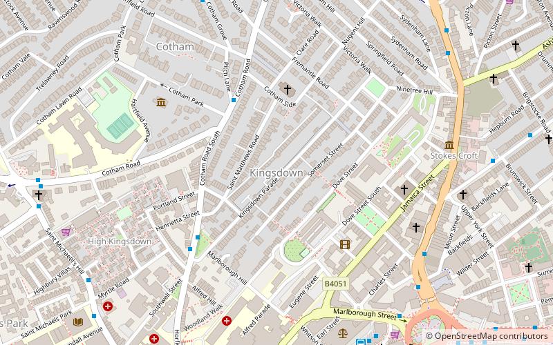
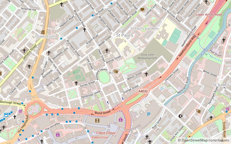
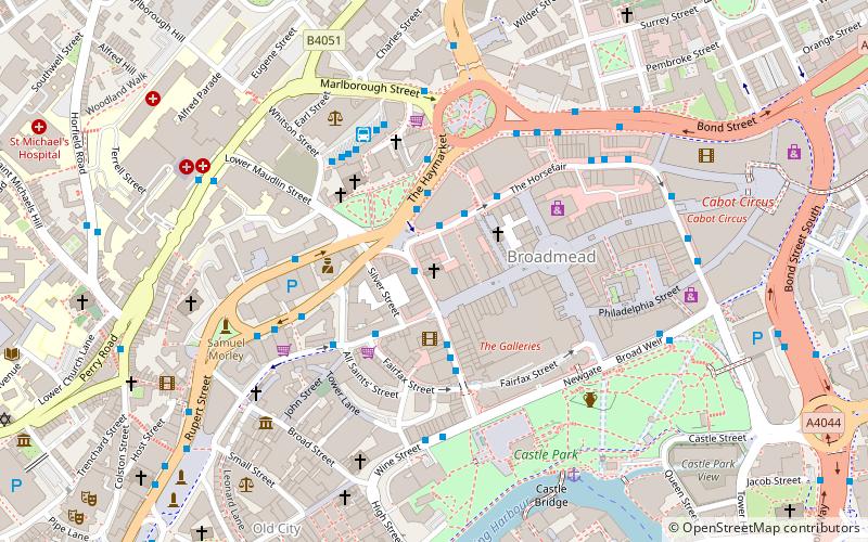
Map
Facts and practical information
Kingsdown is an area of Bristol, located on high ground immediately north of the city centre and south of Cotham. It lies within the Cotham council ward. ()
Coordinates: 51°27'45"N, 2°35'44"W
Address
CabotBristol
ContactAdd
Social media
Add
Getting there by public transportation
Public transportation stops near this location
- Bus
- Train
- Ferry
 Bus
Bus
- Calculate routeCotham Side 3 min walk
- Calculate routeBristol Bus & Coach Station 7 min walk
- Calculate routeCotham Park 7 min walk
- Calculate routeMyrtle Road 8 min walk
- Calculate routeRedland 11 min walk
- Calculate routeMontpelier 13 min walk
- Calculate routeClifton Down 18 min walk
- Calculate routePrinces Wharf 26 min walk
- Calculate routeCity Centre 19 min walk
- Calculate routePrince Street Bridge 25 min walk
- Calculate routeMillennium Square 25 min walk
- Calculate routeHarbour Inlet 27 min walk
Day trips


Frequently Asked Questions (FAQ)
Which popular attractions are close to Kingsdown?
Nearby attractions include St Matthew's Church, Bristol (3 min walk), Charles Wesley's House, Bristol (6 min walk), Cotham Church, Bristol (6 min walk), Cotham, Bristol (6 min walk).
How to get to Kingsdown by public transport?
The nearest stations to Kingsdown:
Bus
Train
Ferry
Bus
- Cotham Side • Lines: 8, 9 (3 min walk)
- Bristol Bus & Coach Station (7 min walk)
Train
- Redland (11 min walk)
- Montpelier (13 min walk)
Ferry
- City Centre • Lines: Hotwells-Centre (19 min walk)
- Prince Street Bridge • Lines: Hotwells-Centre (25 min walk)