Elland Lower Edge, Huddersfield
Map
![Elland Lower Edge location map](https://tzmedia.b-cdn.net/media/images/static-maps/gb/53_689_-1_81.jpg)
Map
![Elland Lower Edge location map](https://tzmedia.b-cdn.net/media/images/static-maps/gb/53_689_-1_81.jpg)
Facts and practical information
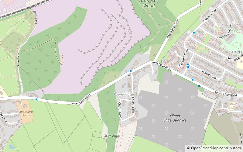
Elland Lower Edge is an area of Rastrick near the town of Brighouse, in the Calderdale District, in the English county of West Yorkshire. ()
Coordinates: 53°41'20"N, 1°48'36"W
Address
Huddersfield
ContactAdd
Social media
Add
Day trips
Elland Lower Edge – popular in the area (distance from the attraction)
Nearby attractions include: Brighouse Town Hall, ROKT Climbing Gym, Church of St Mary, Church of All Saints.