Blechynden Terrace Park, Southampton
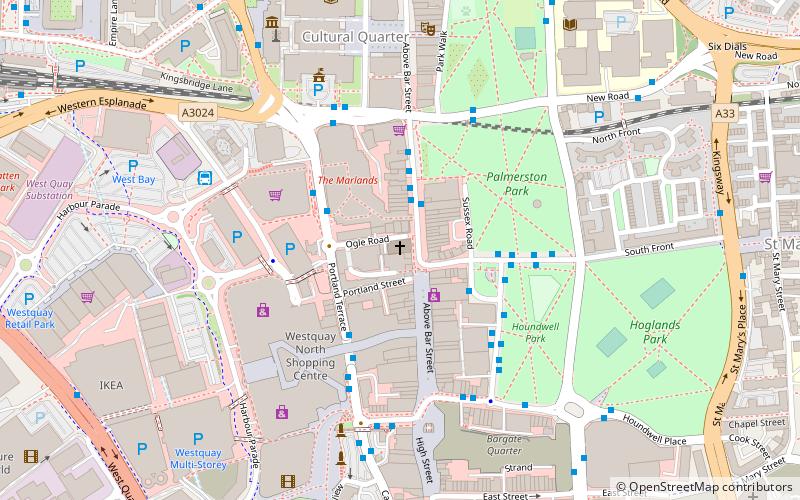
Map
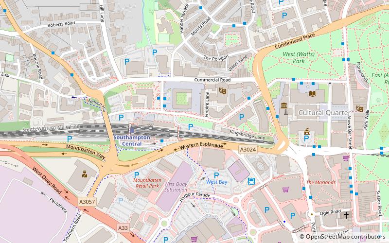
Map

Facts and practical information
Blechynden Terrace Park or Blechynden Gardens is a park in Southampton, Hampshire, England. It lies within the remains of the Emperia Building, which was destroyed by German bombing during World War II. ()
Elevation: 16 ft a.s.l.Coordinates: 50°54'28"N, 1°24'41"W
Address
Southampton Itchen (Bargate)Southampton
ContactAdd
Social media
Add
Day trips
Blechynden Terrace Park – popular in the area (distance from the attraction)
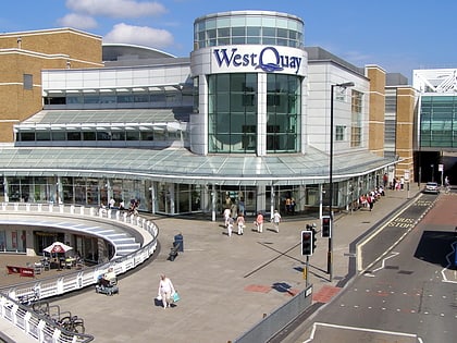
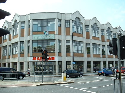
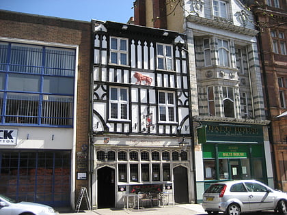
Nearby attractions include: Westquay, The Marlands, St Mary's Stadium, Red Lion Inn.
Frequently Asked Questions (FAQ)
Which popular attractions are close to Blechynden Terrace Park?
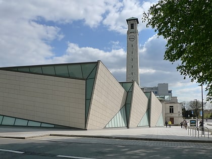
Nearby attractions include Mayflower Theatre, Southampton (4 min walk), Southampton Tunnel, Southampton (5 min walk), SeaCity Museum, Southampton (5 min walk), Southampton Civic Centre, Southampton (6 min walk).
How to get to Blechynden Terrace Park by public transport?
The nearest stations to Blechynden Terrace Park:
Bus
Train
Ferry
Bus
- Central Station • Lines: Qc, U1A, U2C (2 min walk)
- Mayflower Halls • Lines: U2, U2B, U2C (3 min walk)
Train
- Southampton Central (4 min walk)
- Millbrook (27 min walk)
Ferry
- Red Jet (25 min walk)

