Midstocket, Aberdeen

Map
Facts and practical information
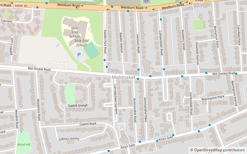
Midstocket is an area of Aberdeen, Scotland. It is named after the Forest of Stocket, which was a gift from Robert the Bruce to the people of Aberdeen in 1319. The income from the forests land formed Aberdeen's Common Good Fund. ()
Coordinates: 57°8'58"N, 2°8'11"W
Address
Midstocket - Rosemount (Midstocket)Aberdeen
ContactAdd
Social media
Add
Day trips
Midstocket – popular in the area (distance from the attraction)
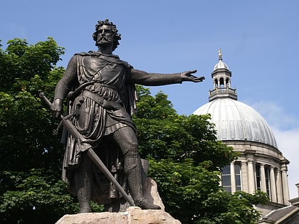
Nearby attractions include: Gilcomston Church, Statue of William Wallace, His Majesty's Theatre, Johnston Gardens.
Frequently Asked Questions (FAQ)
Which popular attractions are close to Midstocket?
Nearby attractions include Foresterhill, Aberdeen (7 min walk), Rubislaw, Aberdeen (13 min walk), Rubislaw Church, Aberdeen (13 min walk), Victoria Park, Aberdeen (15 min walk).
How to get to Midstocket by public transport?
The nearest stations to Midstocket:
Bus
Bus
- Ashgrove Road • Lines: 727 (29 min walk)
- Erskine Street • Lines: 727 (29 min walk)


