King's College Bridge, Cambridge
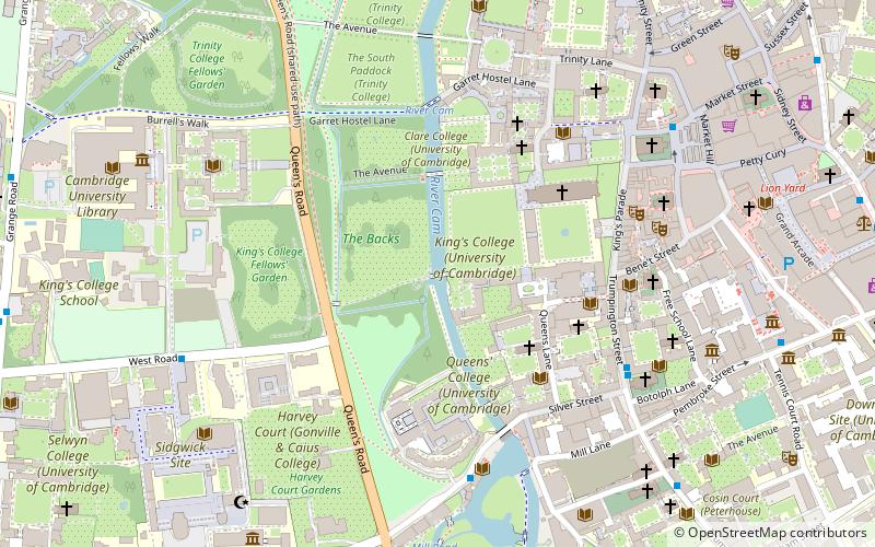
Map

Map

Facts and practical information
King's College Bridge is the eighth river Cam bridge overall and the fourth bridge on its middle upstream in Cambridge. In the 15th century there was built the first wooden bridge, the current stone structure designed famous British architect William Wilkins in 1818 and it was constructed by Francis Braidwood in 1819. ()
Coordinates: 52°12'14"N, 0°6'51"E
Address
CastleCambridge
ContactAdd
Social media
Add
Day trips
King's College Bridge – popular in the area (distance from the attraction)
Nearby attractions include: King's College Chapel, The Backs, Corpus Clock, Market Hill.
Frequently Asked Questions (FAQ)
Which popular attractions are close to King's College Bridge?
Nearby attractions include University of Cambridge, Cambridge (2 min walk), King's College, Cambridge (3 min walk), Clare College Bridge, Cambridge (3 min walk), The Backs, Cambridge (3 min walk).
How to get to King's College Bridge by public transport?
The nearest stations to King's College Bridge:
Bus
Train
Bus
- Queens' College • Lines: U (5 min walk)
- Corpus Christi Col • Lines: 199 (5 min walk)
Train
- Cambridge (31 min walk)


