Moseley Park, Birmingham
Map

Gallery

Facts and practical information
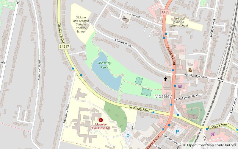
Moseley Park is an 11-acre private park in Moseley, Birmingham, maintained by Moseley Trust. It is located to the west of the district centre and the A435 Alcester Road. ()
Elevation: 459 ft a.s.l.Coordinates: 52°26'54"N, 1°53'31"W
Address
Moseley and Kings HeathBirmingham
Contact
+44 7836 599990
Social media
Add
Day trips
Moseley Park – popular in the area (distance from the attraction)
Nearby attractions include: Edgbaston Cricket Ground, New Street, Public Library and Baths, Cannon Hill Park.
Frequently Asked Questions (FAQ)
Which popular attractions are close to Moseley Park?
Nearby attractions include Moseley, Birmingham (4 min walk), St Anne's Church, Birmingham (5 min walk), St Mary's Church, Birmingham (7 min walk), Cannon Hill Park, Birmingham (14 min walk).
How to get to Moseley Park by public transport?
The nearest stations to Moseley Park:
Bus
Bus
- Salisbury Rd / Moseley Village • Lines: 1, 1A (4 min walk)
- Saint Marys Row / Moseley Village • Lines: 1, 1A (6 min walk)


