Spinney Hill, Northampton

Map
Facts and practical information
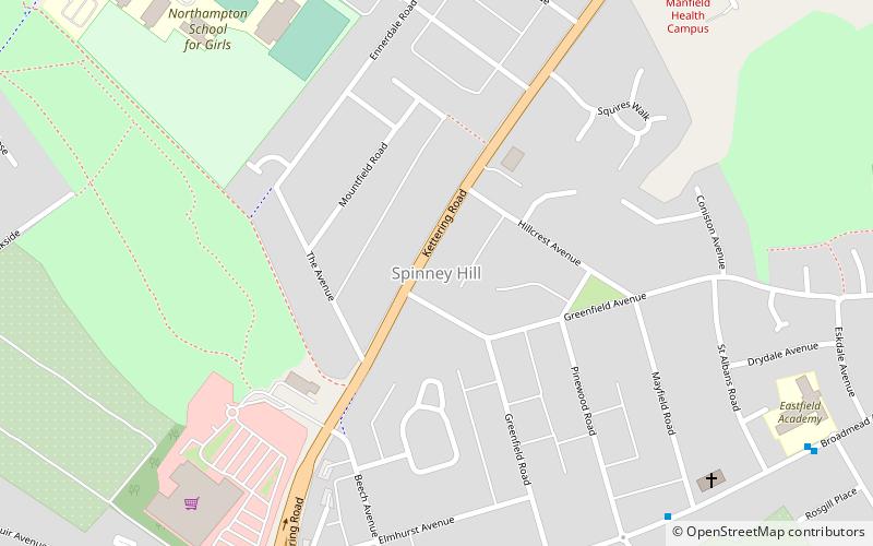
Spinney Hill is an area of Northampton, England, to the north of the town, in the Parklands ward. It is bordered by a semi-wild park area called Bradlaugh Fields, another more traditional park, allotments and a residential area. ()
Coordinates: 52°15'42"N, 0°52'6"W
Address
ParklandsNorthampton
ContactAdd
Social media
Add
Day trips
Spinney Hill – popular in the area (distance from the attraction)
Nearby attractions include: County Cricket Ground, Abington Park, The Racecourse, St Matthew's Church.
Frequently Asked Questions (FAQ)
Which popular attractions are close to Spinney Hill?
Nearby attractions include Friends of Eastfield Park, Northampton (13 min walk), Bradlaugh Fields, Northampton (14 min walk), Abington Library, Northampton (17 min walk), St Matthew's Church, Northampton (20 min walk).


