Three Lochs Way, Balloch
Map
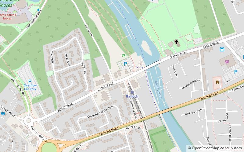
Map

Facts and practical information
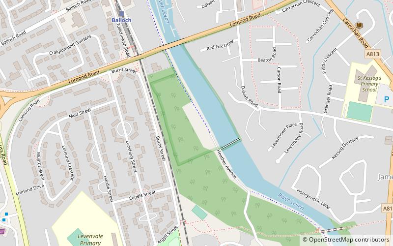
The Three Lochs Way is a 55-kilometre long-distance path in Argyll and Bute in Scotland that links Balloch and Inveruglas. The path crosses the Highland Boundary Fault, which divides the Scottish Highlands from the Lowlands, and is named for the three major lochs linked by the route: Loch Lomond, the Gare Loch and Loch Long. About 1,500 people use the path every year, of whom about 300 complete the entire route. ()
Coordinates: 56°0'11"N, 4°35'2"W
Address
Balloch
ContactAdd
Social media
Add
Day trips
Three Lochs Way – popular in the area (distance from the attraction)
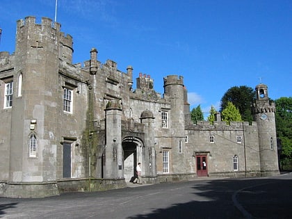
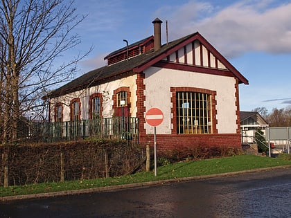
Nearby attractions include: Balloch Castle, Balloch Steam Slipway, Balloch Country Park, Maid Of The Loch.
Frequently Asked Questions (FAQ)
Which popular attractions are close to Three Lochs Way?
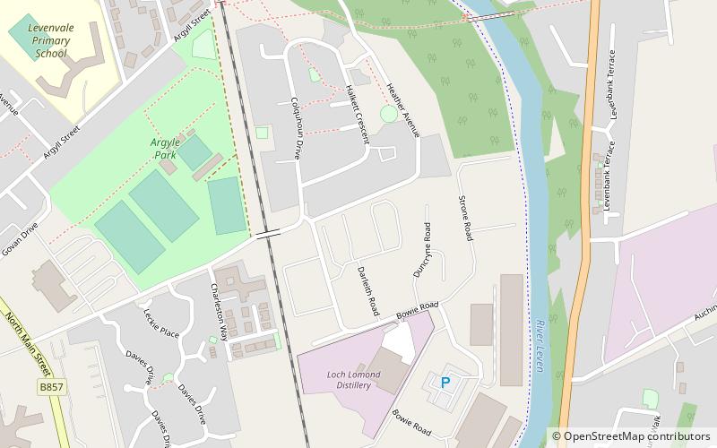
Nearby attractions include Balloch Steam Slipway, Balloch (11 min walk), Maid Of The Loch, Balloch (13 min walk), Loch Lomond distillery, Balloch (17 min walk), Balloch Country Park, Balloch (17 min walk).
How to get to Three Lochs Way by public transport?
The nearest stations to Three Lochs Way:
Train
Bus
Train
- Balloch (2 min walk)
Bus
- Balloch North of roundabout • Lines: 915 (16 min walk)

