Sheep's Green Bridge, Cambridge

Map
Facts and practical information
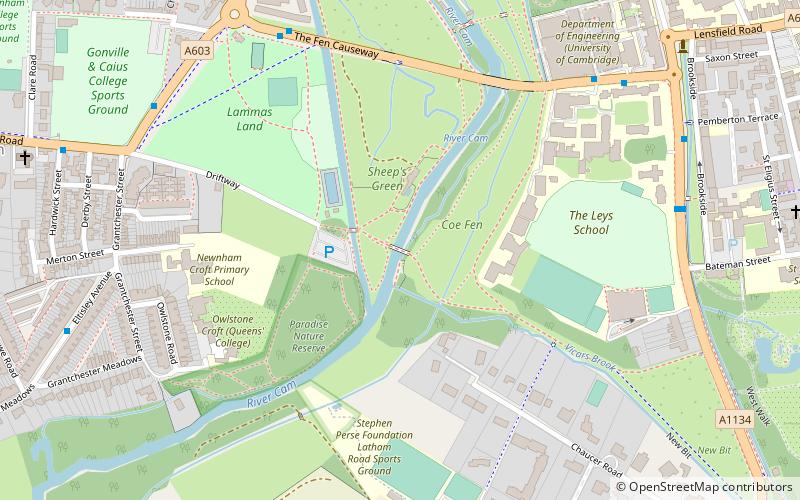
Sheep's Green Bridge is a footbridge over the River Cam in Cambridge, England. It is the second bridge on the river as it flows into Cambridge. It connects Coe Fen near Sheep's Green and Lammas Land. The bridge was opened in 1910 to replace the chain ferry taking ladies over to the bathing place on Sheep's Green. After deterioration in the bridge's condition it was reconstructed in 2006, the decking was relaid and the steps were replaced with ramps. ()
Coordinates: 52°11'43"N, 0°6'59"E
Address
NewnhamCambridge
ContactAdd
Social media
Add
Day trips
Sheep's Green Bridge – popular in the area (distance from the attraction)
Nearby attractions include: Fitzwilliam Museum, Cambridge University Botanic Garden, St Andrew's Street, Primavera.
Frequently Asked Questions (FAQ)
Which popular attractions are close to Sheep's Green Bridge?
Nearby attractions include Paradise Local Nature Reserve, Cambridge (2 min walk), Sheep's Green and Coe Fen, Cambridge (4 min walk), Fen Causeway, Cambridge (5 min walk), Memorial Chapel, Cambridge (6 min walk).
How to get to Sheep's Green Bridge by public transport?
The nearest stations to Sheep's Green Bridge:
Bus
Train
Bus
- Causewayside • Lines: 18, 199, 75 (6 min walk)
- Leys School • Lines: 18, 18A, 199, 75 (7 min walk)
Train
- Cambridge (23 min walk)


