Peter Pans Playground, Littlehampton
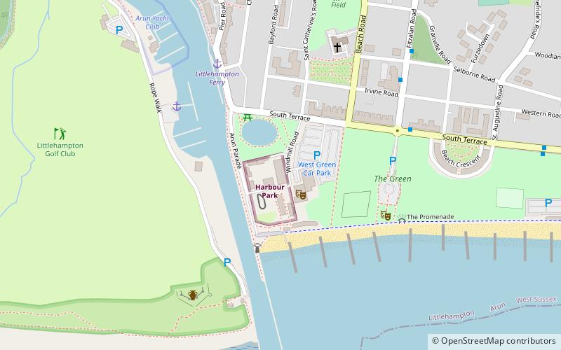
Map
Facts and practical information
Peter Pan's Playground was an amusement park in the coastal resort of Worthing, West Sussex, England for young children under 11 years of age ()
Coordinates: 50°48'12"N, 0°32'29"W
Address
Littlehampton
ContactAdd
Social media
Add
Getting there by public transportation
Public transportation stops near this location
- Bus
- Train
 Bus
Bus
- Calculate routeAnchor Springs 12 min walk
- Calculate routeSt James Church 16 min walk
- Calculate routeNorth Ham Rd 19 min walk
- Calculate routeWickbourne Centre 21 min walk
- Calculate routeLittlehampton 14 min walk
Day trips
Peter Pans Playground – popular in the area (distance from the attraction)
Nearby attractions include: Harbour Park, Mewsbrook Park, Littlehampton Redoubt, Littlehampton Friends Meeting House.


Frequently Asked Questions (FAQ)
Which popular attractions are close to Peter Pans Playground?
Nearby attractions include St Catherines Church, Littlehampton (5 min walk), Littlehampton Redoubt, Littlehampton (5 min walk), Littlehampton Friends Meeting House, Littlehampton (12 min walk), Mewsbrook Park, Littlehampton (22 min walk).
How to get to Peter Pans Playground by public transport?
The nearest stations to Peter Pans Playground:
Bus
Train
Bus
- Anchor Springs • Lines: 700 (12 min walk)
- St James Church • Lines: 700 (16 min walk)
Train
- Littlehampton (14 min walk)