Polmadie, Glasgow
Map
Map

Facts and practical information
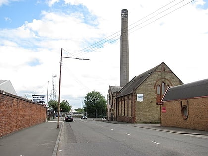
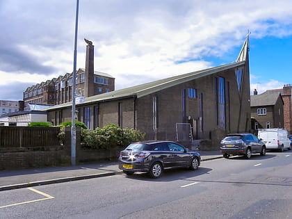
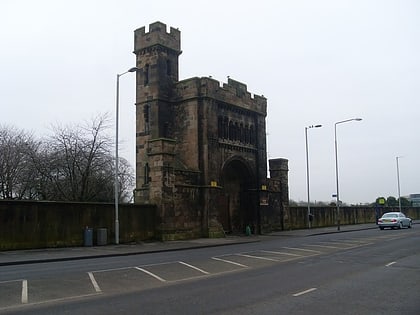
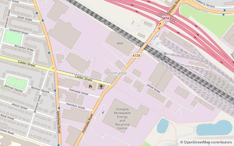
Polmadie is a primarily industrial area of Glasgow in Scotland. Situated south of the River Clyde, Polmadie is close to residential neighbourhoods including Govanhill and Toryglen, with Oatlands and another large industrial zone at Shawfield to the north on the opposite side of major railway lines and the M74 motorway, Junction 1A of which serves the area. ()
Elevation: 56 ft a.s.l.Coordinates: 55°50'8"N, 4°14'40"W
Address
South Side (Polmadie)Glasgow
ContactAdd
Social media
Add
Day trips
Polmadie – popular in the area (distance from the attraction)
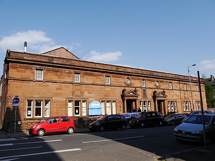
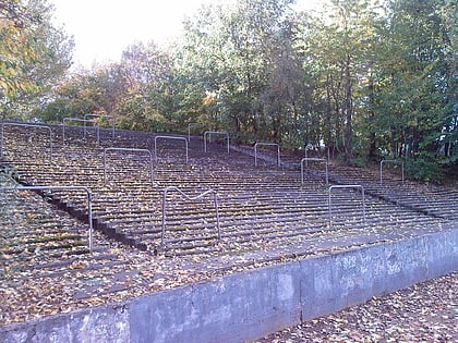
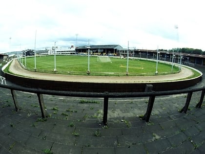
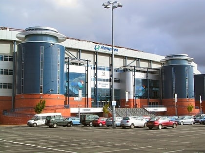
Nearby attractions include: Hampden Park, Glasgow Green, Govanhill Baths, Cathkin Park.
Frequently Asked Questions (FAQ)
Which popular attractions are close to Polmadie?
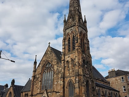
Nearby attractions include Cathkin Park, Glasgow (13 min walk), Govanhill, Glasgow (14 min walk), Govanhill Trinity Church, Glasgow (15 min walk), Southern Necropolis, Glasgow (15 min walk).
How to get to Polmadie by public transport?
The nearest stations to Polmadie:
Train
Bus
Metro
Train
- Crosshill (13 min walk)
- Queens Park (23 min walk)
Bus
- Pollokshaws Road / Albert Drive • Lines: 3, 38 (23 min walk)
- Eglinton Street / Gourock Street • Lines: 3, 38 (23 min walk)
Metro
- Bridge Street • Lines: Subway (33 min walk)
- West Street • Lines: Subway (33 min walk)
