New England Quarter, Brighton
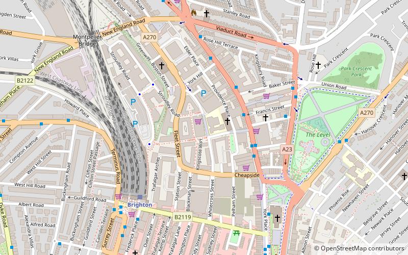
Map
Facts and practical information
The New England Quarter is a mixed-use development in the city of Brighton and Hove, England. It was built between 2004 and 2008 on the largest brownfield site in the city, adjacent to Brighton railway station. Most parts of the scheme have been finished, but other sections are still being built and one major aspect of the original plan was refused planning permission. ()
Coordinates: 50°49'51"N, 0°8'17"W
Address
St. Peter's and North Laine (London Road Central)Brighton
ContactAdd
Social media
Add
Day trips
New England Quarter – popular in the area (distance from the attraction)
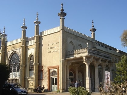
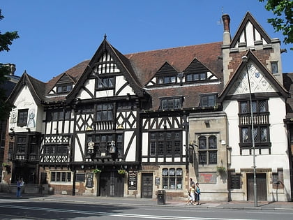
Nearby attractions include: Brighton Museum & Art Gallery, Brighton Toy and Model Museum, King and Queen, St Nicholas' Church.
Frequently Asked Questions (FAQ)
Which popular attractions are close to New England Quarter?
Nearby attractions include St Bartholomew's Church, Brighton (2 min walk), City College Brighton & Hove, Brighton (4 min walk), Brighton Toy and Model Museum, Brighton (5 min walk), The Level, Brighton (6 min walk).
How to get to New England Quarter by public transport?
The nearest stations to New England Quarter:
Bus
Train
Bus
- London Road Shops • Lines: 21, 21A, 21E, 22, 24, 26, 270, 271, 272, 273, 46, 48, 49, 5, 50, 55, 5A, 5B, 78, N5 (3 min walk)
- Baker Street • Lines: 270, 271, 272, 273, 5, 55, 5A, 5B, N5 (3 min walk)
Train
- Brighton (5 min walk)
- London Road (11 min walk)
