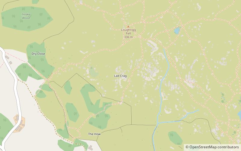
Todd Crag, Elterwater

Map
Facts and practical information
Todd Crag is a hill and a satellite peak of Loughrigg Fell at 224 m it is not classed as a fell but is a vantage point near Ambleside ()
Coordinates: 54°26'8"N, 3°0'32"W
Address
Elterwater
ContactAdd
Social media
Add
Day trips
Todd Crag – popular in the area (distance from the attraction)
Nearby attractions include: Rydal Water, Grasmere Lake, Rydal Mount, Loughrigg Tarn.
Frequently Asked Questions (FAQ)
Which popular attractions are close to Todd Crag?
Nearby attractions include Loughrigg Fell, Ambleside (4 min walk), Loughrigg Tarn, Elterwater (10 min walk), Elter Water, Elterwater (24 min walk).
How to get to Todd Crag by public transport?
The nearest stations to Todd Crag:
Bus
Bus
- Foulstep crossroads • Lines: 516 (23 min walk)
- White Moss Common • Lines: 555, 599 (27 min walk)


