Sankey Bridges, Warrington
Map

Map

Facts and practical information
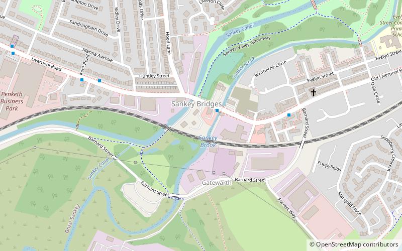
Sankey Bridges is part of the Parish of Holy Trinity in Warrington, a unitary authority in the north-west of England. Located on the turnpike road between Warrington, Prescot and Liverpool over the Sankey Brook, which was the boundary of Great Sankey and The County Borough of Warrington, it became home to many industries after the opening of the Sankey Canal, the first wholly artificial canal built in England during the Industrial Revolution. ()
Coordinates: 53°23'0"N, 2°37'31"W
Address
Warrington
ContactAdd
Social media
Add
Day trips
Sankey Bridges – popular in the area (distance from the attraction)
Nearby attractions include: Halliwell Jones Stadium, Warrington Museum & Art Gallery, Parr Hall, Museum of Policing in Cheshire.
Frequently Asked Questions (FAQ)
How to get to Sankey Bridges by public transport?
The nearest stations to Sankey Bridges:
Bus
Train
Bus
- Sankey Bridges • Lines: 110, 32, 7 (2 min walk)
- Gatewarth • Lines: 110, 32, 7 (5 min walk)
Train
- Warrington West (22 min walk)
- Warrington Bank Quay (25 min walk)


