Stoney Street, Nottingham

Gallery (1)
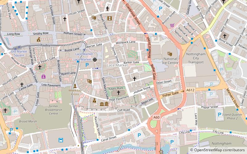
Map
Map
Facts and practical information
Stoney Street is an historic street in Nottingham City Centre between High Pavement and Carlton Street. ()
Coordinates: 52°57'7"N, 1°8'34"W
Address
BridgeNottingham
ContactAdd
Social media
Add
Getting there by public transportation
Public transportation stops near this location
- Bus
- Tram
- Train
 Bus
Bus
- Calculate routeLace Market 4 min walk
- Calculate routeOld Market Square 9 min walk
- Calculate routeNottingham Station 10 min walk
- Calculate routeRoyal Centre 12 min walk
- Calculate routeFletcher Gate 4 min walk
- Calculate routeCanal Street 4 min walk
- Calculate routeHockley 4 min walk
- Calculate routeGeorge Street 5 min walk
- Calculate routeNottingham 9 min walk
Day trips


Frequently Asked Questions (FAQ)
Which popular attractions are close to Stoney Street?
Nearby attractions include High Pavement Chapel, Nottingham (1 min walk), Lace Market, Nottingham (1 min walk), St Mary's Church, Nottingham (2 min walk), Lace Market Theatre, Nottingham (2 min walk).
How to get to Stoney Street by public transport?
The nearest stations to Stoney Street:
Tram
Bus
Train
Tram
- Lace Market • Lines: 1, 2 (4 min walk)
- Old Market Square • Lines: 1, 2 (9 min walk)
Bus
- Fletcher Gate • Lines: 10, 11, 11C, 34, 5, 6, 7, 76, 77, 78, 79, 8, 9, Citylink 1, L1, N34, N77, W1 (4 min walk)
- Canal Street • Lines: 50 (4 min walk)
Train
- Nottingham (9 min walk)