Disley Tunnel, Stockport

Map
Facts and practical information
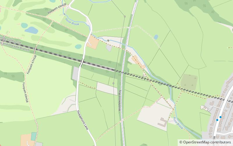
Disley Tunnel was built by the Midland Railway in 1902 on its line between New Mills South Junction and Manchester Central, which was more direct than the congested and difficult lines through Stockport Tiviot Dale. ()
Coordinates: 53°22'18"N, 2°5'9"W
Address
Stockport (Marple South)Stockport
ContactAdd
Social media
Add
Day trips
Disley Tunnel – popular in the area (distance from the attraction)
Nearby attractions include: Lyme Park, Anson Engine Museum, All Saints Church, Marple Aqueduct.
Frequently Asked Questions (FAQ)
How to get to Disley Tunnel by public transport?
The nearest stations to Disley Tunnel:
Bus
Train
Bus
- High Lane, Buxton Road / adjacent Threaphurst Lane • Lines: 199, 394 (8 min walk)
- Windlehurst, Windlehurst Road / opposite Keswick Road • Lines: 394 (9 min walk)
Train
- Middlewood (21 min walk)


