Mannofield, Aberdeen
Map

Map

Facts and practical information
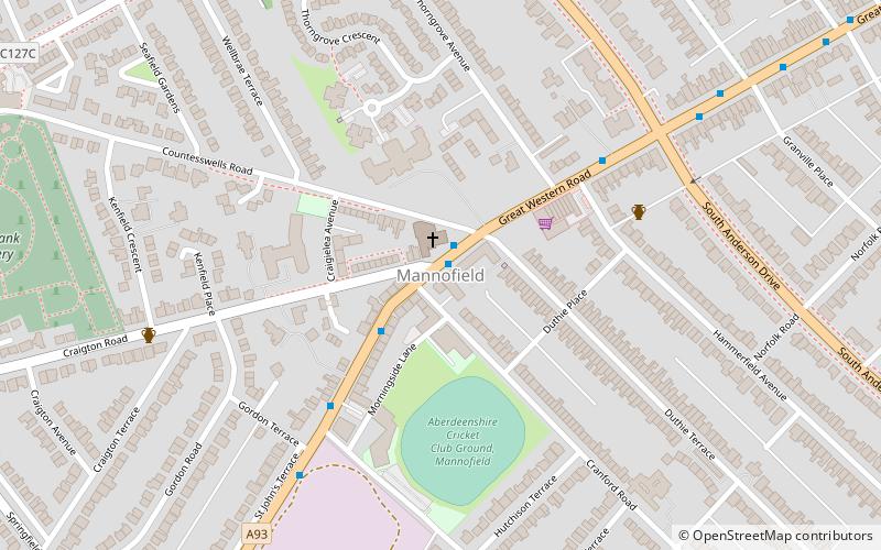
Mannofield is an affluent area of Aberdeen, Scotland. It is situated in the west end of the city and is accessible by travelling through the A93 Aberdeen - Perth road, the A90 Edinburgh to Fraserburgh road and the A96. Mannofield is also a short walking distance away from Aberdeen City Centre and has good road and bus links to the city and beyond. Much of Aberdeen's water is supplied by the water works / reservoir on St John's Terrace and the reservoir on Craigton Road. ()
Coordinates: 57°7'53"N, 2°8'15"W
Address
Airyhall - Broomhill - Garthdee (Mannofield)Aberdeen
ContactAdd
Social media
Add
Day trips
Mannofield – popular in the area (distance from the attraction)
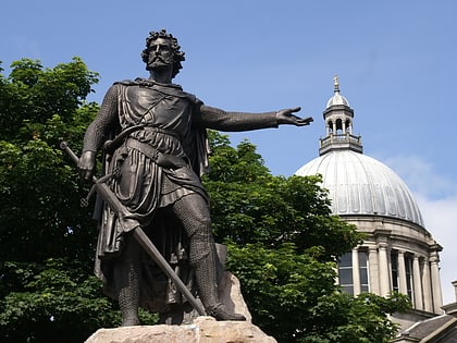
Nearby attractions include: Gilcomston Church, Statue of William Wallace, Springbank Cemetery, Johnston Gardens.
Frequently Asked Questions (FAQ)
Which popular attractions are close to Mannofield?
Nearby attractions include Springbank Cemetery, Aberdeen (9 min walk), Braeside, Aberdeen (13 min walk), The Gordon Highlanders Museum, Aberdeen (14 min walk), Johnston Gardens, Aberdeen (14 min walk).
How to get to Mannofield by public transport?
The nearest stations to Mannofield:
Bus
Bus
- Deevale Terrace • Lines: 17 (30 min walk)
- Abbotswell School • Lines: 17 (30 min walk)


