Macfarlane Observatory, Glasgow
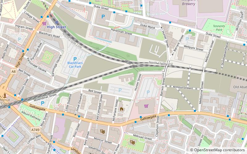
Map
Facts and practical information
The Macfarlane Observatory was established at the University of Glasgow in 1757. It was the first purpose-built university observatory in Britain. ()
Coordinates: 55°51'26"N, 4°14'7"W
Address
East End (Dennistoun)Glasgow
ContactAdd
Social media
Add
Day trips
Macfarlane Observatory – popular in the area (distance from the attraction)
Nearby attractions include: People's Palace, St Mungo Museum of Religious Life & Art, Glasgow Necropolis, Glasgow Cathedral.
Frequently Asked Questions (FAQ)
Which popular attractions are close to Macfarlane Observatory?
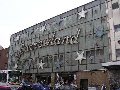
Nearby attractions include Barrowland Ballroom, Glasgow (4 min walk), Many Studios, Glasgow (5 min walk), High Street, Glasgow (7 min walk), Cathedral Square, Glasgow (8 min walk).
How to get to Macfarlane Observatory by public transport?
The nearest stations to Macfarlane Observatory:
Bus
Train
Metro
Bus
- Gallowgate / Bain Street • Lines: 2, 61 (4 min walk)
Train
- High Street (6 min walk)
- Bellgrove (11 min walk)
Metro
- St Enoch • Lines: Subway (20 min walk)
- Buchanan Street • Lines: Subway (21 min walk)


