Penn Hill, Poole
Map

Map

Facts and practical information
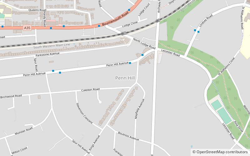
Penn Hill is an electoral ward of Poole in Dorset, England, bordering on Branksome Park, Canford Cliffs, Sandbanks, Lilliput and Parkstone. It is effectively part of Parkstone. ()
Coordinates: 50°43'21"N, 1°55'38"W
Address
Penn HillPoole
ContactAdd
Social media
Add
Day trips
Penn Hill – popular in the area (distance from the attraction)
Nearby attractions include: Talbot Woods, Branksome Chine Beach Chalet, Compton Acres, St Dunstan of Canterbury Orthodox Church.
Frequently Asked Questions (FAQ)
Which popular attractions are close to Penn Hill?
Nearby attractions include Alexandra Park, Poole (10 min walk), St Dunstan of Canterbury Orthodox Church, Poole (14 min walk).
How to get to Penn Hill by public transport?
The nearest stations to Penn Hill:
Bus
Train
Bus
- Branksome, Penn Hill Corner • Lines: 20 (2 min walk)
- North Lodge Road • Lines: 1, U2 (5 min walk)
Train
- Branksome (12 min walk)
- Parkstone (23 min walk)


