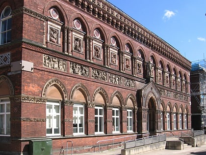
Sneyd Green, Stoke-on-Trent
Map

Gallery

Facts and practical information
Sneyd Green is an area in the city of Stoke-on-Trent, Staffordshire, England, in the north-east of the city, 1.5 miles from Hanley. Sneyd Green borders Smallthorne in the north, Milton in the east, Birches Head in the south, and Cobridge in the west. ()
Coordinates: 53°2'25"N, 2°10'15"W
Address
Burslem SouthStoke-on-Trent
ContactAdd
Social media
Add
Day trips
Sneyd Green – popular in the area (distance from the attraction)
Nearby attractions include: Waterworld, Potteries Shopping Centre, Potteries Museum & Art Gallery, Bethesda Methodist Chapel.
Frequently Asked Questions (FAQ)
Which popular attractions are close to Sneyd Green?
Nearby attractions include Holden Viaduct, Stoke-on-Trent (7 min walk), Central Forest Park, Stoke-on-Trent (9 min walk), Birches Head, Stoke-on-Trent (18 min walk), Smallthorne, Stoke-on-Trent (21 min walk).


