Popley Ponds, Basingstoke

Gallery (1)
Map
Map
Facts and practical information
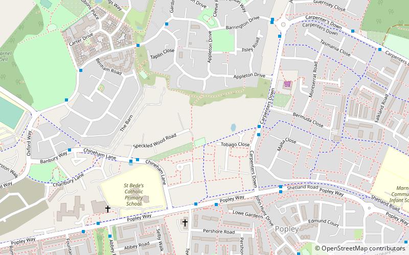
Popley Ponds is a 1.4-hectare Local Nature Reserve in Basingstoke in Hampshire. It is owned and managed by Basingstoke and Deane Borough Council. ()
Elevation: 276 ft a.s.l.Coordinates: 51°17'10"N, 1°5'13"W
Address
Basingstoke
ContactAdd
Social media
Add
Getting there by public transportation
Public transportation stops near this location
- Bus
 Bus
Bus
- Calculate routeTobago Close 3 min walk
- Calculate routeSpeckled Wood Road 4 min walk
- Calculate routeCarpenters Down 5 min walk
Day trips


Frequently Asked Questions (FAQ)
How to get to Popley Ponds by public transport?
The nearest stations to Popley Ponds:
Bus
Bus
- Tobago Close • Lines: 6 (3 min walk)
- Speckled Wood Road • Lines: 4 (4 min walk)