Cornbury and Wychwood, Charlbury
Map
Facts and practical information
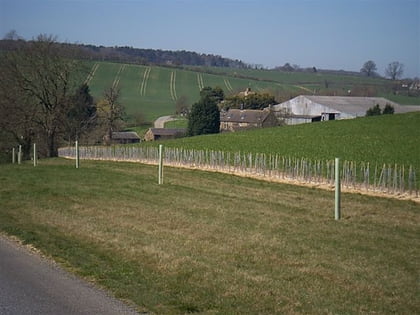
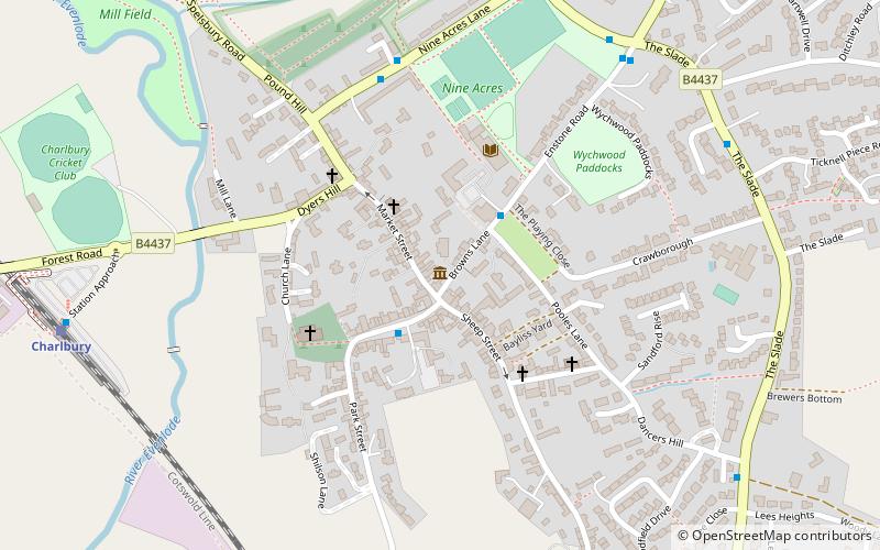
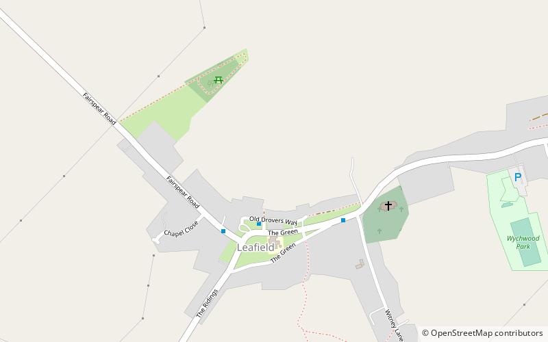
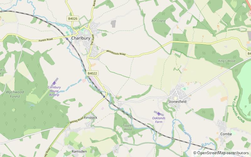
Cornbury and Wychwood is a civil parish in West Oxfordshire. It includes the country estate of Cornbury Park and the ancient former Royal Forest of Wychwood, which covers several square miles between Cornbury Park, the village of Leafield and the hamlet of Mount Skippett. ()
Coordinates: 51°51'32"N, 1°27'29"W
Address
Charlbury
ContactAdd
Social media
Add
Day trips
Cornbury and Wychwood – popular in the area (distance from the attraction)
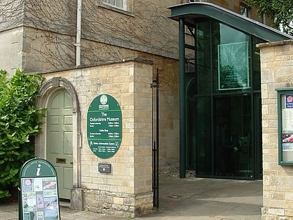
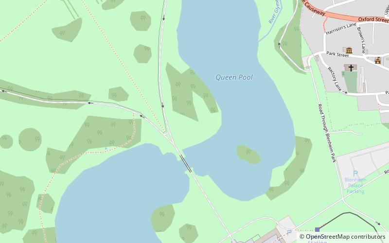
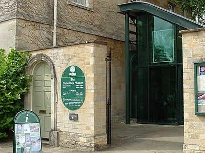
Nearby attractions include: Blenheim Palace, Blenheim Farm, The Oxfordshire Museum, Woodstock Palace.
