Bevendean Down, Brighton
Map

Map

Facts and practical information
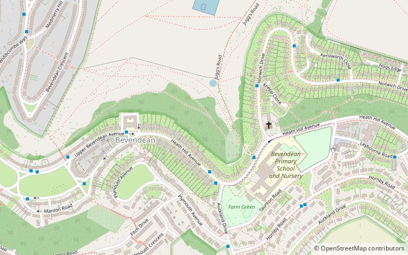
Bevendean Down is a 64.6-hectare Local Nature Reserve in the Bevendean district in Brighton, East Sussex. It is owned by Brighton and Hove Council and managed by tenant farmers and others. It is mainly chalk grassland and there are also areas of woodland and scrub. This site is in five separate blocks. ()
Elevation: 217 ft a.s.l.Coordinates: 50°50'35"N, 0°6'7"W
Address
Moulsecoomb and Bevendean (Bevendean)Brighton
ContactAdd
Social media
Add
Day trips
Bevendean Down – popular in the area (distance from the attraction)
Nearby attractions include: Whitehawk Camp, Church of the Annunciation, St Martin's Church, St Joseph's Church.
Frequently Asked Questions (FAQ)
Which popular attractions are close to Bevendean Down?
Nearby attractions include Bevendean, Brighton (4 min walk), Brighton and Lewes Downs Biosphere Reserve, Brighton (13 min walk), Moulsecoomb Place, Brighton (16 min walk).
How to get to Bevendean Down by public transport?
The nearest stations to Bevendean Down:
Bus
Train
Bus
- Bevendean Surgery • Lines: 48, 70 (3 min walk)
- Knepp Close • Lines: 48, 70 (4 min walk)
Train
- Moulsecoomb (20 min walk)


