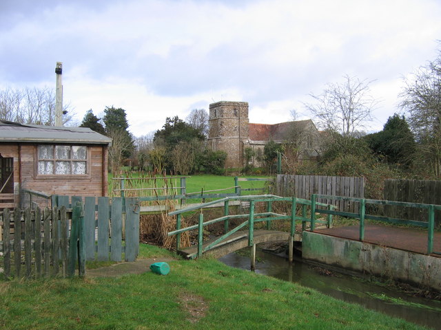
St. Hubert's Church, Poole

Gallery (3)
Map
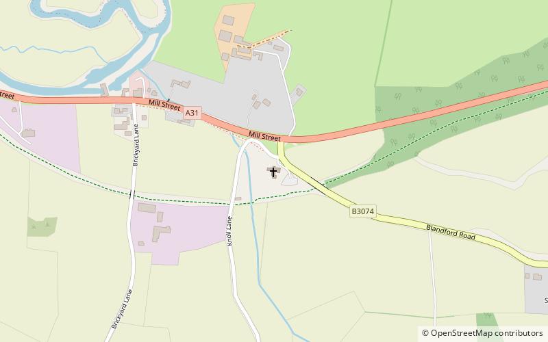
Map
Gallery
Facts and practical information
St Hubert's Church is a 13th-century Church of England parish church in Corfe Mullen, a district of Wimborne, in the ceremonial county of Dorset, on the south coast of England. It is a Grade II* listed building and one of two churches in the Anglican parish of Corfe Mullen that form "one church family" offering a mix of "traditional and contemporary worship". The church is a popular venue for weddings. ()
Coordinates: 50°47'5"N, 2°2'4"W
Address
Poole
ContactAdd
Social media
Add
Getting there by public transportation
Public transportation stops near this location
- Bus
 Bus
Bus
- Calculate routeCorfe Mullen, Lockyers School 20 min walk
- Calculate routeHigher Merley Lane 25 min walk
- Calculate routeWindgreen 26 min walk
Day trips


Frequently Asked Questions (FAQ)
How to get to St. Hubert's Church by public transport?
The nearest stations to St. Hubert's Church:
Bus
Bus
- Corfe Mullen, Lockyers School • Lines: 3, 4 (20 min walk)
- Higher Merley Lane • Lines: 3, 4 (25 min walk)