Bletchley Flyover, Milton Keynes
Map

Map

Facts and practical information
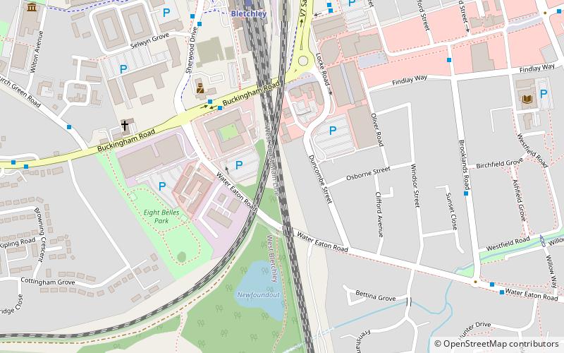
The Bletchley Flyover was originally a reinforced concrete railway viaduct that carried the former Varsity line between Oxford and Cambridge over the West Coast Main Line at Bletchley railway station in Milton Keynes, England. It was retained but largely unused when the line closed until it was demolished in late 2020 and early 2021. During 2021, the East West Rail Alliance rebuilt the flyover and the route was in use by engineering trains by early 2022. ()
Coordinates: 51°59'32"N, 0°44'7"W
Address
Bletchley and Fenny Stratford (Central Bletchley)Milton Keynes
ContactAdd
Social media
Add
Day trips
Bletchley Flyover – popular in the area (distance from the attraction)
Nearby attractions include: Bletchley Park, Stadium MK, Bletchley Leisure Centre, The National Museum of Computing.
Frequently Asked Questions (FAQ)
Which popular attractions are close to Bletchley Flyover?
Nearby attractions include Bletchley, Milton Keynes (5 min walk), Wilton Hall, Milton Keynes (10 min walk), Bletchley Park, Milton Keynes (11 min walk), Blue Lagoon Local Nature Reserve, Milton Keynes (11 min walk).
How to get to Bletchley Flyover by public transport?
The nearest stations to Bletchley Flyover:
Train
Train
- Bletchley (6 min walk)
- Fenny Stratford (24 min walk)


