Pole Hill, London
Map

Map

Facts and practical information
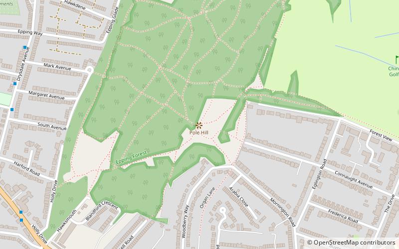
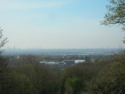
Pole Hill is a hill in Chingford, north-east London, on the border between Greater London and Essex. From its summit there is an extensive view over much of east, north and west London, although in the summer the leaves of the trees in Epping Forest have a tendency to mask some of the view to the north and west. ()
Coordinates: 51°38'11"N, 0°0'5"W
Address
Watham Forest (Chingford Green)London
ContactAdd
Social media
Add
Day trips
Pole Hill – popular in the area (distance from the attraction)
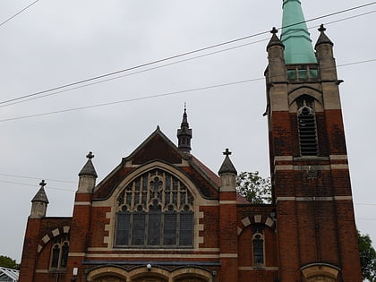
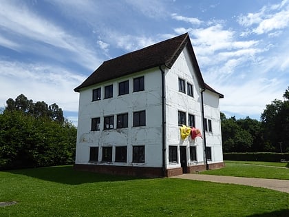
Nearby attractions include: Chingford Green, Chingford United Reformed Church, Queen Elizabeth's Hunting Lodge, Chingford Mount Cemetery.
Frequently Asked Questions (FAQ)
Which popular attractions are close to Pole Hill?
Nearby attractions include Chingford United Reformed Church, London (10 min walk), Our Lady of Grace and St Teresa of Avila, London (12 min walk), Queen Elizabeth's Hunting Lodge, London (22 min walk), Chingford, London (22 min walk).
How to get to Pole Hill by public transport?
The nearest stations to Pole Hill:
Bus
Train
Bus
- Chingford Police Station • Lines: 313, 379, 385 (9 min walk)
- Pole Hill Road • Lines: 313, 379, 385 (9 min walk)
Train
- Chingford (14 min walk)

 Tube
Tube


