Charminster, Bournemouth
Map
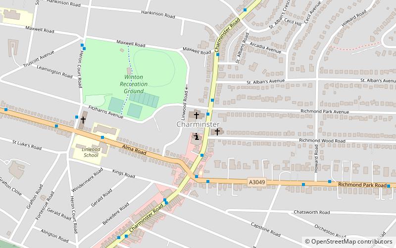
Map

Facts and practical information
Charminster is a residential and commercial suburb of Bournemouth in Dorset, situated between the suburbs of Springbourne and Winton. It was incorporated into the County Borough of Bournemouth in 1901. ()
Coordinates: 50°44'18"N, 1°51'52"W
Address
Winton EastBournemouth
ContactAdd
Social media
Add
Day trips
Charminster – popular in the area (distance from the attraction)
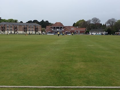
Nearby attractions include: Castlepoint Shopping Park, O2 Academy Bournemouth, Dean Court, Dean Park Cricket Ground.
Frequently Asked Questions (FAQ)
Which popular attractions are close to Charminster?
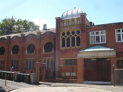
Nearby attractions include Wimborne Road Cemetery, Bournemouth (13 min walk), Charminster Library, Bournemouth (13 min walk), Winton, Bournemouth (18 min walk), Bournemouth Reform Synagogue, Bournemouth (19 min walk).
How to get to Charminster by public transport?
The nearest stations to Charminster:
Bus
Train
Bus
- St Alban's Church • Lines: 3, 3N, m1 (2 min walk)
- Richmond Wood Road • Lines: 3, m1 (2 min walk)
Train
- Bournemouth (20 min walk)


