East Preston Street Burial Ground, Edinburgh

Map
Facts and practical information
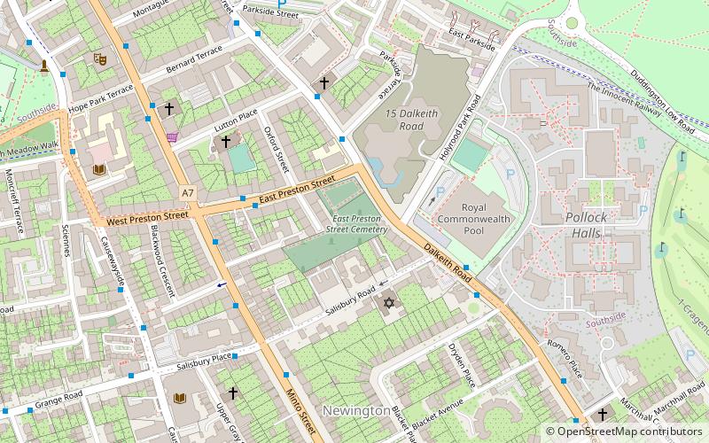
East Preston Street Burial Ground is a burial ground in south Edinburgh holding graves from the 19th and 20th century. The graveyard is in the care of the City of Edinburgh Council. It stands at the junction of East Preston Street and Dalkeith Road. The property is a listed building. ()
Coordinates: 55°56'20"N, 3°10'33"W
Address
Southside (Newington)Edinburgh
ContactAdd
Social media
Add
Day trips
East Preston Street Burial Ground – popular in the area (distance from the attraction)
Nearby attractions include: Arthur's Seat, Royal Commonwealth Pool, The Meadows, Sandy Bell's.
Frequently Asked Questions (FAQ)
Which popular attractions are close to East Preston Street Burial Ground?
Nearby attractions include Edinburgh Synagogue, Edinburgh (3 min walk), St Columba's Catholic Church, Edinburgh (6 min walk), The Queen's Hall, Edinburgh (8 min walk), Sciennes, Edinburgh (10 min walk).
How to get to East Preston Street Burial Ground by public transport?
The nearest stations to East Preston Street Burial Ground:
Bus
Train
Tram
Bus
- East Preston Street Lane • Lines: 51 (3 min walk)
- Royal Commonwealth Pool • Lines: 51 (4 min walk)
Train
- Edinburgh Waverley (27 min walk)
Tram
- Princes Street • Lines: Edinburgh Trams Eastbound, Edinburgh Trams Westbound (32 min walk)
- St Andrew Square • Lines: Edinburgh Trams Eastbound, Edinburgh Trams Westbound (32 min walk)


