Trek Zone

Boxwell SSSI, Wotton-under-Edge

#9 among attractions in Wotton-under-Edge

Sightseeing
Boxwell SSSI location map
Map

Facts and practical information
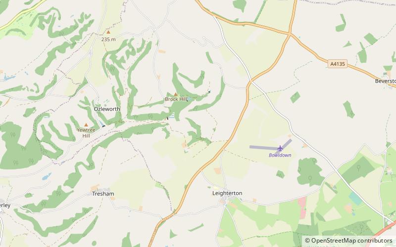
Coordinates: 51°38'3"N, 2°15'60"W
Address

Wotton-under-Edge United Kingdom

ContactAdd
Social media
Add
Day trips

Boxwell SSSI – popular in the area (distance from the attraction)

Nearby attractions include: The New Lawn, Westonbirt Arboretum, Newark Park, St. Mary the Virgin Church.

  • the new lawn nailsworth4.6 miN
  • westonbirt arboretum tetbury2.7 miSE
  • newark park cotswold water park2.2 miW
  • st mary the virgin church wotton under edge3.5 miW
  • horsley priory nailsworth location map
    3.5 miN
  • owlpen manor stroud3.6 miN
  • st nicholas of myras church cotswold water park1.4 miW
  • beverston castle tetbury2.9 miE
  • st arilds church cotswold water park2.9 miS
  • ancient ram inn wotton under edge3.5 miW
  • quadrangular castle cotswold water park2.9 miE

Where to next? Visit england England region page or discover the top tourist attractions in United Kingdom.