Merkinch, Inverness
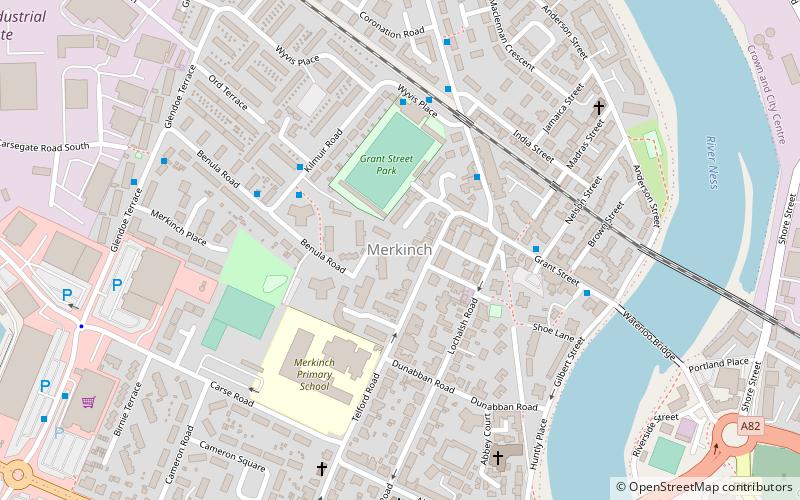
Map
Facts and practical information
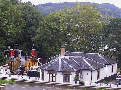
Merkinch is an area of the city of Inverness in the Highland council area of Scotland. One of the oldest neighbourhoods in Inverness, it's situated in the city's north-west flanked by the Caledonian Canal to its west and River Ness to its east. It is a traditionally working-class area. ()
Coordinates: 57°29'5"N, 4°14'16"W
Address
Inverness
ContactAdd
Social media
Add
Day trips
Merkinch – popular in the area (distance from the attraction)
Nearby attractions include: Eastgate Shopping Centre, Inverness Castle, Caledonian Stadium, St Mary's Catholic Church.
Frequently Asked Questions (FAQ)
Which popular attractions are close to Merkinch?
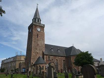
Nearby attractions include Port of Inverness, Inverness (5 min walk), Infinity Trampoline Park Inverness, Inverness (8 min walk), Ironworks Venue, Inverness (12 min walk), Old High Church, Inverness (12 min walk).
How to get to Merkinch by public transport?
The nearest stations to Merkinch:
Bus
Train
Bus
- Inverness Bus Station • Lines: 917, 919 (14 min walk)
- Tomnahurich Street • Lines: 917 (17 min walk)
Train
- Inverness (17 min walk)


