Hutchesontown, Glasgow
Map
Facts and practical information
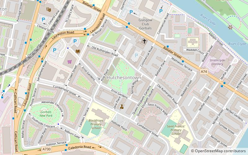
Hutchesontown is an inner-city area in Glasgow, Scotland. Mostly residential, it is situated directly south of the River Clyde and forms part of the wider historic Gorbals district, which is covered by the Southside Central ward under Glasgow City Council. ()
Coordinates: 55°50'53"N, 4°14'51"W
Address
South Side (Gorbals)Glasgow
ContactAdd
Social media
Add
Getting there by public transportation
Public transportation stops near this location
- Metro
- Bus
- Train
 Metro
Metro
- Calculate routeGlasgow Green/ Peoples Palace 13 min walk
- Calculate routeEglinton Street / Eglinton Court 13 min walk
- Calculate routeEglinton Street / Cumberland Street 14 min walk
- Calculate routeBridge Street 13 min walk
- Calculate routeWest Street 19 min walk
- Calculate routeSt Enoch 19 min walk
- Calculate routeBuchanan Street 26 min walk
- Calculate routeArgyle Street 17 min walk
- Calculate routeHigh Street 22 min walk
- Calculate routeGlasgow Central Low Level 23 min walk
- Calculate routeGlasgow Central 23 min walk
Day trips
Hutchesontown – popular in the area (distance from the attraction)
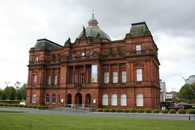
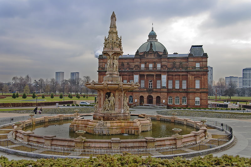
Nearby attractions include: People's Palace, The 13th Note, Glasgow Green, St Andrew's Cathedral.


Frequently Asked Questions (FAQ)
Which popular attractions are close to Hutchesontown?
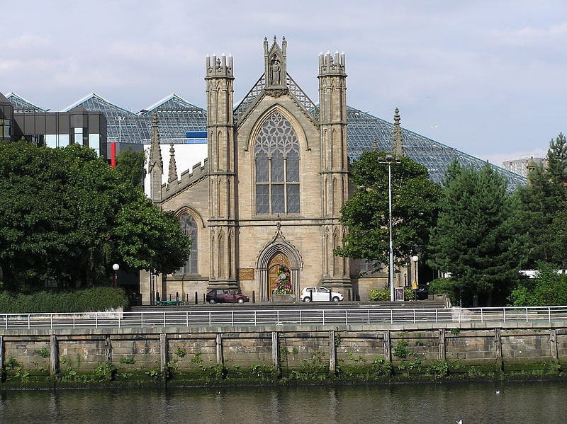
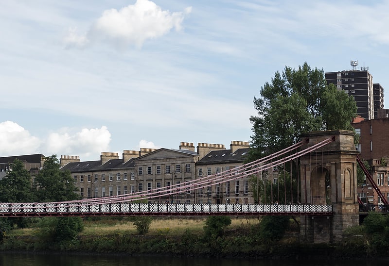
Nearby attractions include Blessed John Duns Scotus Church, Glasgow (3 min walk), Citizens Theatre, Glasgow (7 min walk), TAG Theatre Company, Glasgow (8 min walk), Albert Bridge, Glasgow (8 min walk).
How to get to Hutchesontown by public transport?
The nearest stations to Hutchesontown:
Bus
Metro
Train
Bus
- Glasgow Green/ Peoples Palace • Lines: c1 (13 min walk)
- Eglinton Street / Eglinton Court • Lines: 3, 38, 38A (13 min walk)
Metro
- Bridge Street • Lines: Subway (13 min walk)
- West Street • Lines: Subway (19 min walk)
Train
- Argyle Street (17 min walk)
- High Street (22 min walk)