Whitfell, Eskdale Green
Map

Map

Facts and practical information
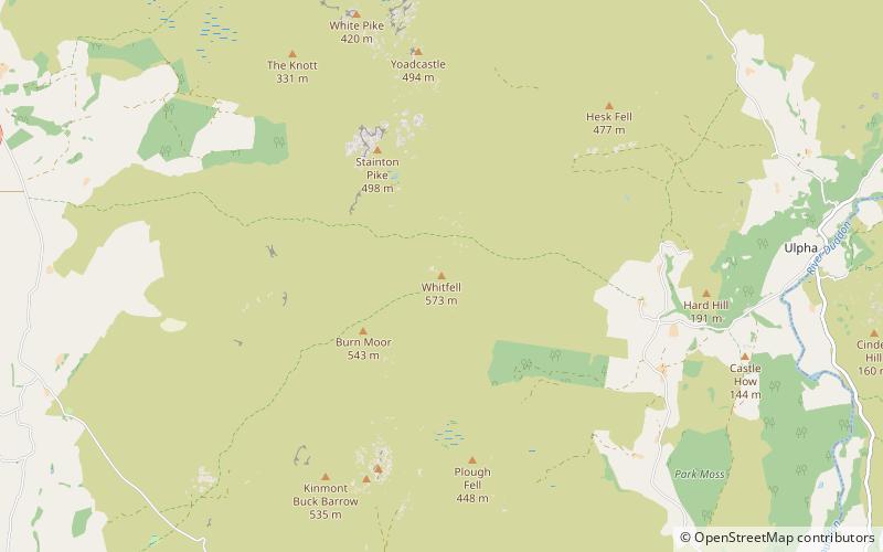
Whitfell is a hill of 573 metres in the southwestern part of the Lake District. It is the highest point between Black Combe and Harter Fell on the broad ridge to the west of the Duddon Valley. Views from the summit include the full length of the Duddon Valley including its estuary; the western side of the Coniston fells; the Eskdale fells including Scafell and Bowfell; much of western Cumbria including the estuary of the Rivers Esk, Mite and Irt; the Isle of Man; as well as the hills to the south culminating in Black Combe. ()
Coordinates: 54°19'32"N, 3°17'42"W
Address
Eskdale Green
ContactAdd
Social media
Add
Day trips
Whitfell – popular in the area (distance from the attraction)
Nearby attractions include: Muncaster Castle, Wallowbarrow Crag, St Catherine's Church, Giggle Alley.


