Belle Vale, Liverpool
Map

Map

Facts and practical information
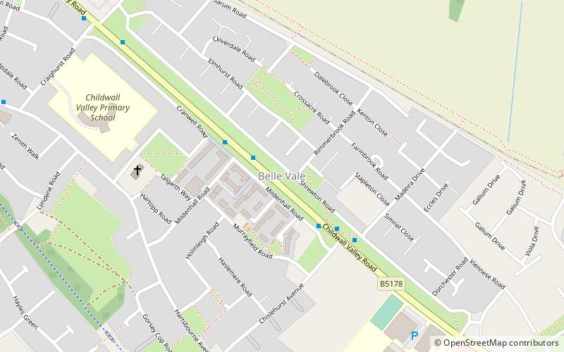
Belle Vale is a district of south-east Liverpool, Merseyside, England and a Liverpool City Council Ward that covers both Belle Vale and Netherley. ()
Coordinates: 53°23'42"N, 2°51'51"W
Address
Belle ValeLiverpool
ContactAdd
Social media
Add
Day trips
Belle Vale – popular in the area (distance from the attraction)
Nearby attractions include: All Saints' Church, Allerton Oak, Bowring Park, Court Hey Park.
Frequently Asked Questions (FAQ)
Which popular attractions are close to Belle Vale?
Nearby attractions include Belle Vale Park, Liverpool (13 min walk), St Stephen's Church, Liverpool (17 min walk), Bowring Park, Liverpool (18 min walk), All Saints' Church, Liverpool (19 min walk).
How to get to Belle Vale by public transport?
The nearest stations to Belle Vale:
Train
Train
- Roby (28 min walk)
- Huyton (34 min walk)


