Battlefield, Glasgow
Map
Gallery
Facts and practical information
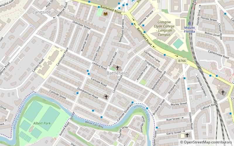
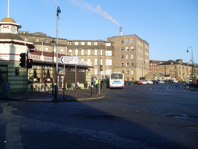
Battlefield is a district in the Scottish city of Glasgow. It is situated south of the River Clyde. The area takes its name from the Battle of Langside of 1568 in which Mary, Queen of Scots' army was defeated by forces acting in the name of her infant son, James VI. A highly decorative monument, designed by Alexander Skirving in 1887, now stands adjacent to Queen's Park commemorating the 320th anniversary of her defeat. ()
Coordinates: 55°49'28"N, 4°15'60"W
Address
South Side (Battlefield)Glasgow
ContactAdd
Social media
Add
Day trips
Battlefield – popular in the area (distance from the attraction)
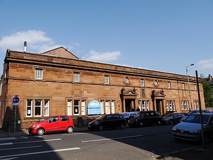
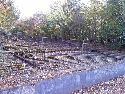
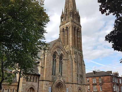
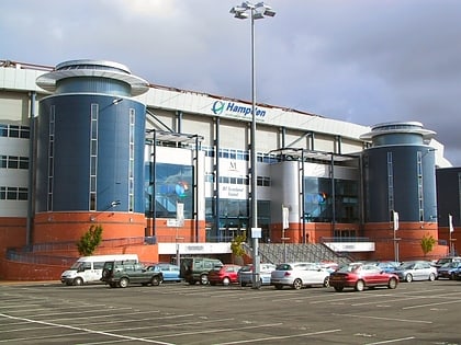
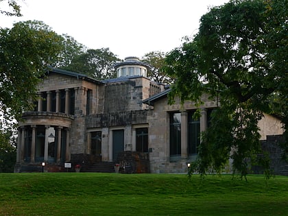
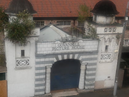
Nearby attractions include: Hampden Park, Govanhill Baths, Cathkin Park, Camphill Queen's Park Baptist Church.
Frequently Asked Questions (FAQ)
Which popular attractions are close to Battlefield?
Nearby attractions include Millbrae Crescent, Glasgow (10 min walk), Queen's Park, Glasgow (11 min walk), St Margaret's, Glasgow (13 min walk), Camphill Queen's Park Baptist Church, Glasgow (14 min walk).
How to get to Battlefield by public transport?
The nearest stations to Battlefield:
Train
Bus
Train
- Mount Florida (7 min walk)
- Langside (12 min walk)
Bus
- Pollokshaws Road / Minard Road • Lines: 3, 38, 38A (18 min walk)
- Kilmarnock Road / Mount Stuart Street • Lines: 3, 38 (18 min walk)


