Lancaster Roman Fort, Lancaster
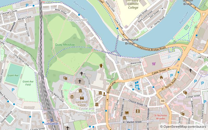
Map

Gallery

Facts and practical information
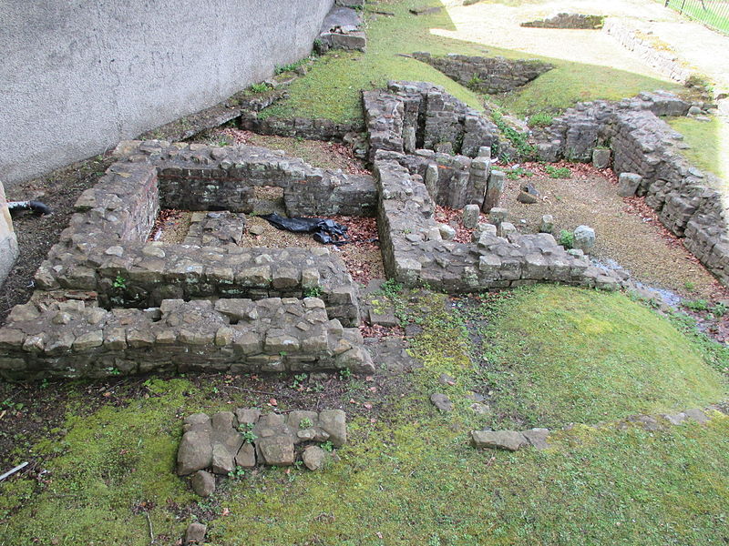
Lancaster Roman Fort, also known as Wery Wall, Galacum or Calunium, is the modern name given to ruined former Roman fort atop Castle Hill in Lancaster in North West England. The first castra was founded c. 80 AD within the Roman province of Britannia. ()
Coordinates: 54°3'5"N, 2°48'12"W
Address
Lancaster
ContactAdd
Social media
Add
Day trips
Lancaster Roman Fort – popular in the area (distance from the attraction)
Nearby attractions include: Lancaster Castle, Lancaster Cathedral, Lancaster Priory, Judges' Lodgings.
Frequently Asked Questions (FAQ)
Which popular attractions are close to Lancaster Roman Fort?
Nearby attractions include Lune Millennium Bridge, Lancaster (3 min walk), Judges' Lodgings, Lancaster (3 min walk), Lancaster Priory, Lancaster (3 min walk), Lancaster Castle, Lancaster (4 min walk).
How to get to Lancaster Roman Fort by public transport?
The nearest stations to Lancaster Roman Fort:
Bus
Train
Bus
- Bus Station • Lines: 2X, 4, 40, 40A, 41, 42, 49, 4X, 55, 555, 6A, 80, 81, 81A, 81B, 81G, 881, 89, Pr (4 min walk)
Train
- Lancaster (7 min walk)


