Downfield, Dundee
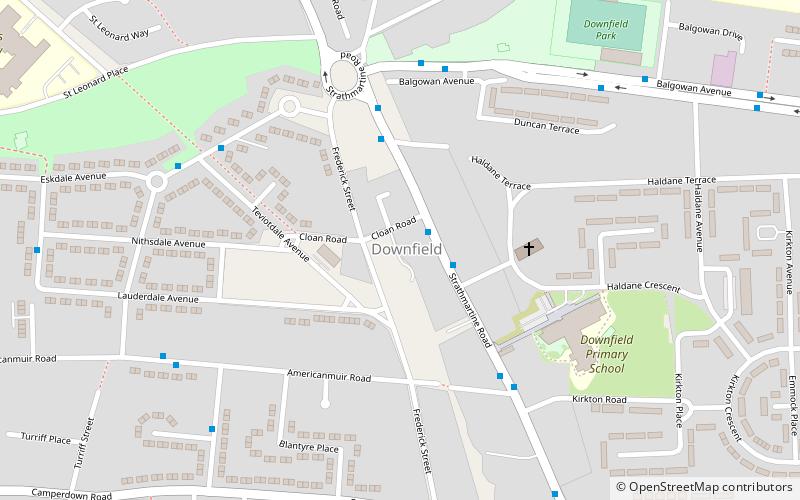
Map
Facts and practical information
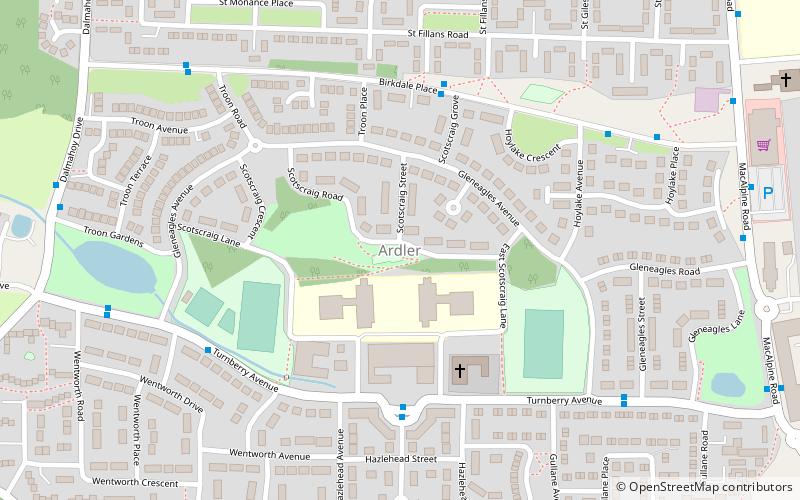
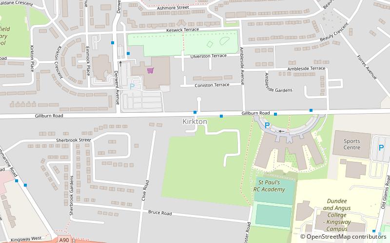
Downfield is a residential area located in the north of Dundee, Scotland, centred on the stretch of the Strathmartine Road between the Kingsway and the northern boundary of Dundee. The area is bordered by St Marys and Ardler to the west, Kirkton to the east and Fairmuir to the south. ()
Coordinates: 56°29'25"N, 2°59'46"W
Address
Dundee
ContactAdd
Social media
Add
Day trips
Downfield – popular in the area (distance from the attraction)
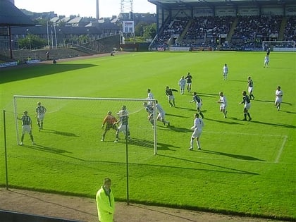
Nearby attractions include: Dundee Ice Arena, Tannadice Park, Dens Park, Trottick Mill Ponds.
Frequently Asked Questions (FAQ)
Which popular attractions are close to Downfield?
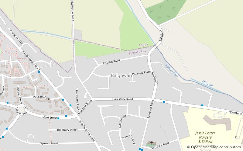
Nearby attractions include Balgowan, Dundee (13 min walk), Kirkton, Dundee (15 min walk), Ardler, Dundee (19 min walk).


