Stirchley Chimney, Telford
Map

Map

Facts and practical information
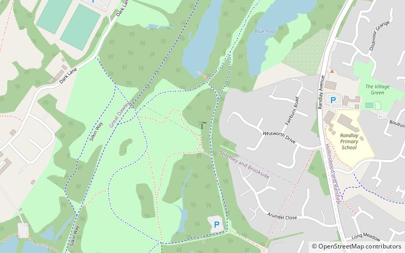
Stirchley Chimney is a chimney located in Telford Town Park. The chimney also marks a notable waypoint on the South Telford Heritage Trail. Measuring 209 feet high, construction of the chimney was completed in 1873. ()
Coordinates: 52°39'50"N, 2°26'40"W
Address
Telford
ContactAdd
Social media
Add
Day trips
Stirchley Chimney – popular in the area (distance from the attraction)
Nearby attractions include: Telford Shopping Centre, Telford Ice Rink, Telford Town Park, St James' Church.
Frequently Asked Questions (FAQ)
Which popular attractions are close to Stirchley Chimney?
Nearby attractions include Telford Town Park, Telford (11 min walk), St James' Church, Telford (12 min walk), Malinslee, Telford (20 min walk).
How to get to Stirchley Chimney by public transport?
The nearest stations to Stirchley Chimney:
Bus
Bus
- International Centre • Lines: 891 (18 min walk)
- Bus Station • Lines: 891 (21 min walk)


